



Quick Summary
In a remarkable feat of endurance and planning, Tyler Brilinski completed a self-powered Tour de Volcanoes, climbing all 16 active Cascade volcanoes across California, Oregon, and Washington while biking more than 1,200 miles and covering another 200 miles on foot in just under 20 days to set a new fastest known time. Rather than focusing on the day-to-day grind, Tyler reflects on the unforgettable moments that defined the journey—from stunning traverses, punishing weather, and memorable trail towns to gear successes, epic descents, and hard-earned meals. Along the way, he navigated mechanical setbacks, dangerous terrain, wildfire-scarred landscapes, and emotional highs and lows, ultimately discovering that while records and summits are rewarding, the true value of the adventure lies in embracing challenges that make life feel fully lived.
Words and Photos by Tyler Brilinski
Tyler Brillinski’s ambitious summer expedition has come to fruition! Read about the PLAN HERE, and read on to see how it all went down.
“Back at the Trailhead!”
The Tour de Volcanoes actually visited 14 different trailheads, but this is the one where it finally comes to a close.
In case you aren’t up on the details, the aim of this trip was to climb the 16 active Cascade volcanoes via human power. In the end I’d bike about 1200 miles and hike/run/crawl another 200. The combined vertical gain equaled 156k feet. Total tour time was 19d 16h and 30m, which makes a new fastest known time for the route.
The volcanoes included were Lassen, Shasta, Hoffman, Mcloughlin, Crater Lake, Newberry, the Three Sisters, Jefferson, Hood, St Helens, Adams, Rainier, Glacier Peak and Baker.
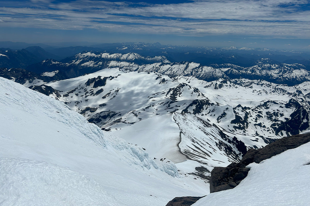
 Feet on the ground, head in the clouds. Descending from Mount Baker; the trip’s final summit
Before getting into the story itself, it’s important to note the role of obsessive planning. Countless hours at the screen allowed me to meet the unique challenges that each stage would bring. That being said, 20 days of climbing mountains across three states certainly had its share of surprises! I could rattle off day by day the painstaking details of (mostly!) boring slogging. But this is 2026 and we don’t read like that anymore. Instead let’s cover the route’s biggest surprises and contrasts.
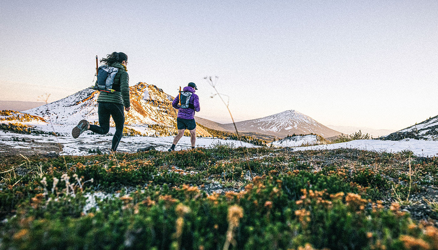
 Although the views on Baker may have been my favorite. The area whose beauty surprised me most was the 3 Sisters traverse - Cool to be on a volcano, looking at other volcanos. Pictured here some spicier terrain descending the north ridge of the south peak

“When we go to the mountains, rule number 1 is that we have fun. Number 2 is that we look good while we’re doing it” Smiling AND styling towards the end of the Sisters Traverse
TOP TRAIL TOWN: SISTERS, OR
Surprises can be good or bad. But this one was a delight. One of my two weather delays occurred on day 8 of the trip. Thankfully I was in Sisters for that. The town has a variety of quality food choices, coffee houses and even a sauna/cold plunge facility. The bike shop fit me in last minute for a critical repair, completed dirt cheap before I even finished breakfast. Hugely appreciative of those guys! On the map I didn’t think much of this town but after visiting I am a fan. Not too big, not too small. This may be my favorite trail town from any of my adventures.
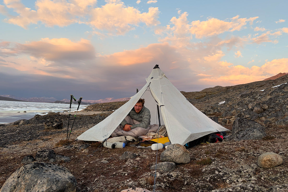
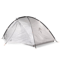
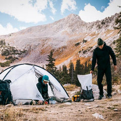
 Keeping the bike dry while we waited out a storm in central Oregon. The Crosspeak “2p” tent stands for “2 pedals” I think
THE ROADS I RODE
Between Jefferson and Hood were many miles of paved single lane forest roads. For 80 miles I saw few cars while biking efficiently up and down forested hillsides. There were ample camps and running water. I think if I were to take people on a type 1 bike packing tour this area would be my top choice.
 Closing in on Mt Hood on Day 11
On the other end of this spectrum, also tucked into central Oregon, was my least favorite section of riding. The OR-22 is a busy, curvy, two lane highway with no shoulder. Visibility is low during any weather due to vegetation but the day I rode it was complicated by heavy rain and patchy fog. I was soaking wet, frustrated and morale was low. But what a relief when I found my exit and the sun broke through.
 An enchanted forest camp after a hard day of terrible riding
GEAR, HERE!
For any kind of speed record, equipment choices matter. But the longer the route the more these decisions can make or break you. Mostly the gear I brought was adequate, as expected. But there are a few standouts.
 My heaviest gear loadout, enroute to Jefferson
Elevate 22- I really can’t understate how perfect this pack was. My only regret is not picking it up sooner! This trip asked for many different pack requirements, but this one was able to meet them all in the middle and perform superbly. Some peaks required running for upwards of 15 miles. Check. When I needed to camp on Mount Adams this pack fit all my camping and climbing gear yet still carried comfortably. Though I am not a fan of biking with a pack, when the load required it, I was able to do so without complaint.
 Standing proud on the first of 16 volcanoes
Bike computer/radar: These pieces of tech (trash) are not something I’ve used much before. But thinking they could improve my safety on the busier roads I got them and familiarized myself with their use. They were worse than useless. Missing cars, false positives, constantly dropping my GPS. I screamed and cursed at these devices every day across the trip. Note: much more effective was the big reticulating rear view mirror I attached to the handlebar!
SINCE WE LAST SPOKE
Before the trip I did everything I could to have my bike ready for action. Unfortunately, I broke a spoke on the first day out. I completed a hasty, partial repair but broke yet another spoke the following day. Thankfully it held together long enough to reach a legit bike shop who resolved the issue and the root cause.
 Replacing a broken spoke via unconventional methods. Mt Shasta behind. Day 3
SPEED DEMONS
It is essential to have a decent estimate of how long a given segment will take to complete. Overall, I had a good sense of this. But there were a few notable exceptions.
Glissade of the Gods: Coming down Mt Shasta was taking forever. Doing the math, there was no way I’d get to a restaurant for dinner. It would be a parking lot freeze dried kind of night. A route normally consisting of loose volcanic dust had received a late spring snowstorm. On this day the angle and aspect made for what is perhaps my most memorable glissade to date. I descended something like 4k feet in around 30 minutes. My butt was wet, but dinner was saved.
 This epic glissade got me halfway down from this 14,179 foot summit. Mount Shasta on Day 2
Verglas Nightmares: The approach to Jefferson involves a buffet of baffoonery. I chose a boulder field over bushwhack for one extended segment. The weather had been in and out rain/snow which leaves the rock wet but overall manageable. There must have been a temperature inversion because the moisture on the rocks had frozen into a thin layer of ice which made the surface as slippery as a hockey rink. Progress was extremely slow going and I fell countless times.
Although not surprises per se, here are some of the other notable Hall of Fame/Wall of Shame moments.
ENERGY LOWS AND ENERGY FLOWS
As mentioned, the Jefferson approach is a bit unlike most peaks on this trip. Most others have clear cut trails leading to or at least near the climbing route. Perhaps the hardest hours of the trip were when I started at 3am on day 10. The day before much of my clothing had been soaked while riding the worst roads the trip had to offer. I knew the climbing high on Jefferson was going to be the most dangerous and technically demanding of the entire trip. Winds were forecast to be in the 30-40mph range. Walking in the rain early that morning, already wet and cold, I was filled with dread about the tasks ahead of me. I actually thought about just going back to the tent and waiting a day. Nevertheless, I persisted through some dark hours and was granted a brief clearing when I reached the upper mountain. “Fortune favors the bold” they say. But it can be a very fine line between boldness and stupidity.
 Day 10: Mt Jefferson summit pinnacle. A short lived weather clearing right when I needed it
On the other extreme there were hours and days where my energy was indescribable. The way I awoke on the 20th and final day was no different than any of the others: tired, stiff and irritated with the cacophony of birds screaming into the pre-dawn forest. But as my faculties assembled another switch flipped to ON. There was no need to preserve energy or leave anything in the tank. It felt a tad maniacal. Just “get there!” by any means necessary. As the day progressed my strategy, fueling and music choices kept this surge keyed up.
BEST MEAL
One way in which a big bike-hike quest is different than a pure mountain climbing trip is how frequently you get to eat a properly huge meal. The one that stands out the most is a truck stop in Worden, OR. They saw me coast in on a heavily loaded bike and were curious what the heck I was up to. The cook came out and talked to me and when he heard my order he said, “I’ll make it special!” And that he did. The pancakes, the hash browns…the 90s country music on the jukebox. A breakfast I won’t soon forget!
I’m not going to single out the worst food stop. But generally speaking, there are places which rely heavily on having no competition, in a place where tourists visit once and never return. Let’s just say that National Park food vendors are not a good fit for someone trying to cram calories at a reasonable rate.
 Riding around Crater Lake on Day 5 was definitely a highlight
TEMPERATURE TEMPERAMENTS
It’s hard to time a trip like this. Go too early in the year and the mountain tops will be frigid winter hellscapes. But go in the middle of summer and you’ll be faced with endless sweltering bike miles across the lowlands. Overall, my date selection was prime in this regard. Snow was cleared from the high roads. Fires had not yet become a factor. And mosquitos were less of a problem than anticipated. Nevertheless, there were some extremes.
TOO HOT TO HANDLE
Reaching Vancouver, WA I had my first truly urban miles of the trip. That day it reached 90F and headwinds really added to the effect. While ninety isn’t “that hot” it sure slowed me down. Being back in a city also drained morale a bit. Don’t these cars know a FKT attempt excuses you from stop lights?!
MOMENTS FROZEN IN RIME
One of the sixteen summits actually has a road all the way to the top. The way it worked out, I reached that summit around 5am on day 6. Typically, I savor the extended downhills that come after each summit. But this morning the peak was engulfed in clouds of supercooled water vapor which turned to ice upon touching any surface. Coasting down and shaking off ice chunks, I’d say it was a top (or bottom?) 5 coldest hours of my life. To put it into perspective, when I finally came to a hill climb I was thrilled at the prospect of generating some heat!
 Honorable mention for coldest moment, descending from North Sister under high winds
LONGEST HIKE
This one doubles as the most underrated volcano. Glacier peak tallies 35 miles and 11k vertical gain. But it has a feeling of wild remoteness not found on the other peaks.
 12 miles in and the peak still so far away
TDBZ
This trip covered a vast array of landscapes. I knew they would be varied and stunning. But I underestimated how wildfire affected they would be. Jokingly I began to call the route Tour de Burn Zones. As I traveled north the burns became fewer and further between. After spending days at a time in mostly burned landscapes, the simple beauty of an unscorched forest stands in great contrast. We may not be able to stop fires, or the larger processes driving them, but we can definitely cultivate a deeper respect and appreciation for the forests we still have.
 Even burn scars can have their own kind of desolate beauty. Mount Adams from the PCT, Day 13
It has been quite a journey. From the initial intrigue, to dreaming, planning, preparing and eventually execution. But it wouldn’t be a proper epic without a little post trip existential brooding. So, in a futile but necessary attempt to ascribe meaning to that which defies any such notion: some closing thoughts.
At every stage in a journey like this, people will ask “Why?” The answer doesn’t really matter. If you get it, you get it. And if they don’t, they won’t.
Within myself, that question of why sounds more like “was it worth it?” Of all the things we can dedicate ourselves to, what makes some worth it and others not? Over the years I’ve aimed to choose challenges extensive enough that they force me to evolve. Certainly, this trip asked a lot of me between the time, effort, cost and risks. Though physically arduous and mentally exhausting I’m doubting this trip will elicit the deeper transformations that I seek. Maybe there’s a ceiling effect with using ultras for personal growth? Maybe other domains of life are where I ought to be seeking.
Ok. Enough of that.
But one more anecdote from the trip itself before I move on with my life.
HIDDEN IN PLAIN SIGHT
To the general public, most of the places I visited on this trip are unknown. But close to a million people per year visit Paradise in Mount Rainier National Park. In the center of the busiest part of the park there is a monument to the 16 active Cascade volcanos. USGS survey markers are placed in the cement for each peak. They are at scale to relative position and distance from one another. I walked over these dozens of times without noticing. Next time you’re at Paradise see if you can find them!
 The Mount Rainier survey markers. There are 15 more, representing each peak on this tour
Walking the 20 steps between these markers and reflecting on the 20 days I was living…it was a fairly emotional experience. But the real insight came when I imagined the future. I hope when I am old, I can return to this monument and revel in the glory of the days when my body still climbed mountains.
Throughout the trip I periodically recorded short videos describing my state of mind or other insights arising. One relevant caption while biking maniacally down a volcano into the setting sun:
“If one day I am granted the privilege to get old and reflect on my life… knowing that I will soon die. I won’t have to wonder too much whether I have actually lived. I believe I will be able to look back on these days I am having now and know that I fully lived.”
Maybe that’s purpose enough.