










Quick Summary
Veteran thru hiker Josh Sheets (“Soulslosher”) recounts his September thru hike of Minnesota’s 300-mile Superior Hiking Trail, a deceptively rugged route along volcanic ridgelines above Lake Superior that passes waterfalls, seven state parks, peak fall foliage, and friendly resupply towns like Grand Marais and Tofte before finishing through Duluth at the Wisconsin border. He praises the trail as an under-the-radar gem but notes some drawbacks, chiefly that it rarely touches the lakeshore and that the lack of FarOut support makes trip planning feel dated. He closes by crediting his HMG kit, especially the new Dyneema Woven Composite Unbound 55, Mid 1, Pods, and 20-degree quilt, with handling the trail’s rough, wet conditions.
Words and Photos by Josh Sheets @soulslosher
QUICK HITS: Superior Hiking Trail
Length: 300 miles
When to Hike: Fall because of intense winters and very buggy summers.
Why to Hike: Rugged “MN North Shore” experience, the grand and majestic Lake Superior, well-spaced resupplies, and a beautiful trail that is still under the radar
HMG Gear Used:
Unbound 55L pack
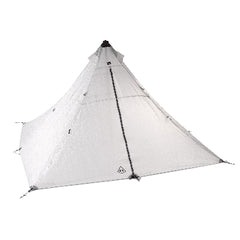
Mid 1
20-Degree Quilt
Versa Fanny pack
Pods (9L and 13L)
Shoulder Pocket
 It’s Soulslosher, aka Josh Sheets! Since 2011, I have been crossing off one long trail after another through thru hiking, now totaling more than 8,000 miles! This September, my sights were set on the Superior Hiking Trail (SHT) in Minnesota. I made all the plans, packed my HMG kit, and headed to the Upper Midwest hinterlands. So, pour your favorite beverage and settle in while I regale you about my experience!
The SHT is in very northeastern Minnesota, almost from the border with Canada, traversing south/southwest to the MN / WI border. It is 300+ miles of rugged hiking, more or less along the ridgeline of hardened volcanic rock overlooking the grand, glistening Lake Superior. The SHT also coincides with the long, winding 4,800-mile North Country Trail. Should you talk to anyone in MN about your hike, you are on the SHT, not the NCT.
 I set my new HMG Unbound pack into the back of a shuttle van from Superior by Nature Remote Access company. I am with two other thru hiker hopefuls! As I climb into the van, it seems rather ridiculous that I traded a comfy bed and hot coffee at the cabin for the van’s bench seat, but within about 30 minutes we reach the trailhead.
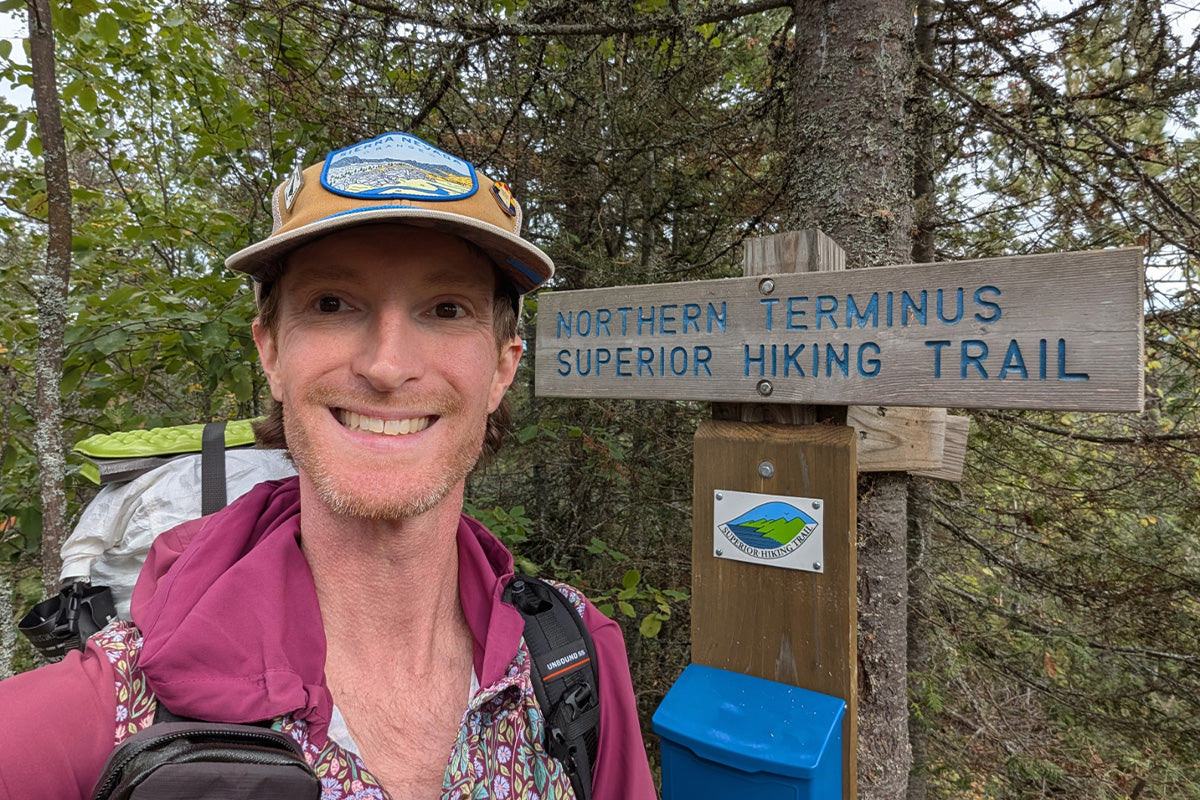
 We all saddle up with our packs and hike up to the 270 Overlook. This overlook is the Northern Terminus, and I thought it was awesome to see into Canada over the wide expanse, with numerous pine trees and the wide, winding Pigeon River running through the landscape.
I could also see how the land is deceptively rugged, with prominent knobs and deep river drainages. This takes me aback, and I pontificate about all the trail obstacles awaiting me. In the run-up to this trail, I confess that I view it as more of a vacation instead of a rigorous hike. Being at the overlook snaps me to reality. I know all of my HMG gear is up to the task, but are my feet and ankles?!
The SHT wastes no time showcasing its beauty. The short but punchy climb up to the Hellacious Overlook provides my first ridgeline-to-Lake Superior view of the trip. I stood in awe at the undulating landscape; the greens of the deciduous trees starting to fade into dusty yellows as Lake Superior glistens in the distance. As I descend, I find my first-ever lobster mushroom. I pick it and will later dry-sauté it into my pasta dinner. Score!
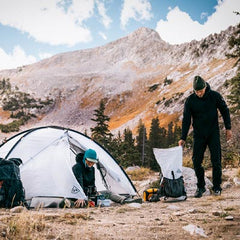
 The first few days are unseasonably warm, and the trail winds its way next to the beautiful Brule River, where I take an irresistible dip. I am currently in Judge Magney State Park. The Park features the Devil’s Kettle, a famous waterfall. One side pours over as a beautiful waterfall. The other pours into a huge opening in the rocks. For many years, it was believed that the latter forever disappeared into the Earth. Around 2017, measurements of cubic feet per second at and below the waterfall revealed that the water rejoins the river through underground channels. It is a highlight of my hike today. But the real highlight is that I end the day camping on the lakeshore of Superior. The alpenglow is stunning and, in the morning, the sunrise over the lake is equally as stunning as I view it out of my Mid 1 vestibule!
My first town stop is Grand Marias (pronounced: Grand Ma-ray), a cute-as-a-button town that has everything this hiker trash wants. Thus, I do believe I ate at nearly all of the establishments in town and my resupply at the lovely Co-Op is successful, if not spendy. And my new Unbound pack carries my heavy resupply like a champ!
Once back on the trail after a successful hitch, I am in amazement at how many major drainages are in this region, all eventually feeding to Superior. I cross the Cascade, Poplar, Onion, and Temperance Rivers over the next few days. Each waterway is adorned with tannin-laced water spilling over gorgeous waterfalls in very narrow chutes.
 I am traversing the Sawtooth Mountains, which have been shaped by ancient and repeated glaciation and volcanism, on my way to Tofte, my next resupply. This area is where the fall foliage really starts to shine, as I make my way up Moose Mountain, Oberg, and Tofte Peaks.
Mind you, the highest point on the whole SHT is 1,829 feet. With Superior’s lakeshore being about 550 feet above sea level, that often leaves about 1,000 feet of play at the overlooks. It all feels quite insignificant when you compare it to the towering elevations out West, yet do not underestimate Minnesota… it is rugged, and you will work for every foot of gain!
 The SHT winds its way through seven magnificent State Parks and George Crosby-Manitou is one of them. For what it is worth, I find this section of trail to be the roughest and most slow-going. It is also one of the most scenic! With fall foliage peaking in some spots and serene lakes such as Sonju, Egge, as well as Bean & Bear awaiting me after the park, the SHT feels like it is crescendoing. Every root, every slip on a bog board, every rotten wooden stair step, feels like it is worth it to be out on this trail.
 Furthermore, the town stops for resupplies in Tofte, and Finland offer different experiences but are each purely Minnesotan in the way they offer up kind and friendly folks. Tofte is lakeshore while Finland is inland enough to make you feel miles from the lakeshore. Nonetheless, wherever I find myself on this trail, the stereotypical “Minnesota nice” always shines through and makes me feel welcome.
It is around this point in my hike that I am craving some attractions that mean I will miss some of the official SHT. Decisions, decisions! I decide to leave the SHT and hike down into Split Rock State Park to see the lighthouse perched on a 130-foot cliff. I still have to cross the Split Rock River, albeit now on a bike path (the Gichi Gami State Trail) instead of a small bridge way up in the river drainage on the official trail. As I meander along the paved bike path, I rather appreciate reading all the historical information signs detailing this area’s economic past of milling lumber (Norway, red, and white pine). Interesting fact: “Gichi Gami” or “Gitche Gumee” means “Great Sea” or “Big-Sea Water” in Native American Ojibwe (Anishinaabe) language.

If there is one “ding” of the SHT, it is that the treadway spends most of its time away from the lakeshore. Do not misunderstand because I rather relish seeing Superior from the ridge, but I crave to hear the soothing lap of the waves on the lakeshore more than I did. And it is why I decide to detour down into Split Rock State Park!
The miles and smiles keep on as I hike toward Two Harbors. This part of the trail goes through Gooseberry Falls State Park, Minnesota’s most popular State Park. That superlative is somewhat baffling because the trail is mostly flat, cruisy, and boring through this section. I also see where this section was logged at some point in the not-so-distant past. Nonetheless, the Gooseberry River is scenic and peaceful with massive paper birch and cedar trees lining the riverbank. I keep expecting to see a giant moose wading in the river as I round the river bends, but no such wildlife sightings are had. I fondly think back to just a few days ago when I had views like this:
 As the days go by and I get closer to Duluth, the trail consists of an increasingly residential vibe and is on overgrown snowmobile and/or cross-country ski routes. Entering Duluth proper, you hike through the Hartley Park, over into the Bagley Nature Area, and then drop down into Chester Park to parallel the lovely Chester Creek as it flows toward Superior.
 Around this point, some hikers choose to end their hike at Martin Road on the northern side of Duluth. Doing so means not bothering with the entirety of the Duluth section because of the camping restrictions and big mileage days between reservation-only and fee-based campsites. While the Duluth section is much more built-up than any other section of trail, the SHTA does a fabulous job keeping you in the woods and on an actual trail as you meander through city proper. However, there are sections such as the lakeshore walk (and skirting the famous aerial lift bridge) that are solely on pavement. Yet, I find the delicious distractions in Canal Park worthwhile, and once back up on the ridge, stunning and sweeping vistas across Duluth make this section feel well-rewarding. In 2017, the final gap is completed between the city and the southern terminus on the MN / WI border.
 I am successful in my pursuit of a SHT thru hike, finishing on September 28th. There is a lot to unpack when it comes to this trail. It’s not as straightforward as other similar-length thru hikes I have done such as the Long Trail, Pinhoti, or even the Allegheny.
The SHT is not on FarOut, and it causes several unique inconveniences when it comes to figuring out information regarding water sources, town amenities, hiker-friendly businesses, etc. The SHTA is reluctant to elevate the SHT to the industry standard of FarOut. Instead, insisting that you use Avenza-based maps (I opt for Gaia) and having to ask the SHTA FaceBook group for answers to your inquiries felt clumsy, dated, less efficient, and somewhat gatekeep-y. Nonetheless, if you do not mind hiking in a more traditional, old-fashioned way, discovering what the trail and its infrastructure have to offer as it unfurls in front of you, the SHT should absolutely be on your list! It remains under the radar; a rugged gem that, surely in enough time, will become discovered and elevated to the likes of other famous trails. If you wanna get while the getting is good… discovering this trail as a uniquely beautiful path overlooking Lake Superior, in the southern reaches of the boreal forest, in a rather non-descript-fly-over region, that is less overrun with hikers, you had better get to packing!
 Speaking of packing, I would be remiss if I didn’t highlight several HMG kit pieces that made my thru hike that much more successful!
 Each morning, I pack my Unbound, and it is obvious the new Dyneema Woven Composite fabric makes this pack sturdier, more abrasion-resistant, more lightweight, and more streamlined than all the older models I own. I appreciate the adjustable side pockets to sinch down whatever I stow, and the adjustable shock cord up the sides of the daisy chains are a rather nice addition to help stash gear.
This pack took whatever the SHT threw at it. There are sections of the trail that are not as lovingly maintained as others. Thus, having to traverse a blowdown with sword-like limbs or pseudo-bushwhack, the newer fabric performs flawlessly.
 I also brought along the Unbound because September and October can be quite rainy, and my mind was at ease due to the water-resistant nature of all HMG packs. One thing to note: the stow pouch on the back of the pack is significantly smaller / tighter than other HMG packs. If you like to stow a lot of smaller gear back there, choose the Junction or Southwest type packs.
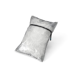
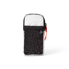
It is no secret that Dyneema offers water-resistance and the “pod system” that is available from HMG makes having a packing system that is tailor-made to ensure redundancy when it comes to waterproofing. I have a pod for my tent and a pod for my clothes. For the quilt, I stuff it in the very bottom of the pack in a trash compactor bag. Everything from HMG works seamlessly well. The shoulder pocket stashes my phone for easy access for navigation, photos, etc. The fanny pack stashes all my must-haves (trail wallet, daily medications, chapstick, vices, etc.) Having a fanny pack ensures that when I am in town or even at camp, I can easily and securely have all my importants with me at all times.
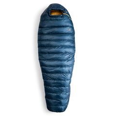
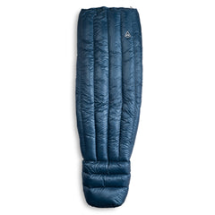
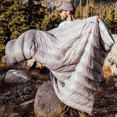
 Additionally, I decided to bring my 20-Degree Quilt because it is superior (pun intended) for warmth-to-weight ratio and packs down incredibly well. The nights in MN can be quite crisp and downright cold and damp, especially if you are camped next to water… which there is a high probability of on the SHT. If you believe in your ability to keep your down-filled items dry at all costs, the weight savings alone of a quilt is worth it when compared to a full sleeping bag. The quilt has a generous footbox and the ability to affix it to your [NeoAir] sleeping pad.
Lastly, I hope you appreciated this Deets from Sheets installment! You can find me on social media via “Soulslosher” if you have any questions regarding the Superior Trail, my HMG gear, etc. I do hope you get out there and relish the pursuit of experiencing the pure, majestic, and unspoiled nature of Minnesota. I am confident that overcoming some of the obstacles I mentioned above as it relates to trail infrastructure will pave the way for a very impressive hike of the SHT! I feel quite accomplished adding this trail to my completion list. I hope you are as enamored with MN and the SHT as I am!

All photos, words, etc. are of and by Josh Sheets (Soulslosher). Many thanks to Hyperlite Mountain Gear for supporting and elevating these stories! Now get out there!