







Quick Summary
After rare autumn rains flipped their plans from a Navajo Nation trip to Arizona’s Mazatzal Mountains, Peter, Mark, and Jim backpacked in from the Barnhardt Trailhead to find towering ephemeral waterfalls. Then Peter and Mark descended Deadman Canyon, eight rappels up to 240 feet through cold, loud flowing water, a long day that ended with a headlamp climb out after dark. Drawing on frameworks from Luc Mehl and Cody Townsend, the piece looks honestly at the risks they took on (a two-person team, thin wetsuits, a late start, scarce beta) and at what they did well, offering lessons for making smarter decisions on future adventures.
Words and Photos By Peter Bugg @plbugg
If you ask people to tell you what they know about Arizona, they might reference the 1.2 million acres of majesty that make up Grand Canyon National Park. They might bring up the iconic Saguaro cactus whose white and yellow bloom is the state flower. They could perhaps share what they know about the nation’s fifth most populated city and the most populous state capital, Phoenix. What they likely won’t think of is rain. It makes sense: almost 50% of the state is classified as part of one of the four major North American deserts - Sonoran, Mojave, Great Basin, and Chihuahuan - which means that those lands receive less than 10” of rainfall per year. It doesn’t rain much here, but when it does, it can be glorious. Here is how we took advantage of the recent precipitation a few weeks ago on a three-day weekend.
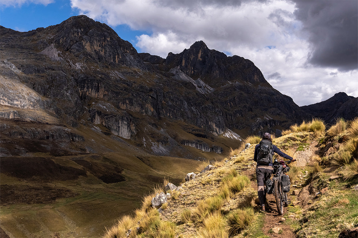
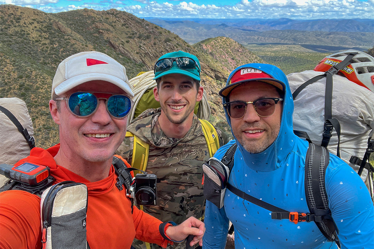
Mark, Jim, and I had plans to go to the Navajo Nation in late October to do a combination backpacking, canyoneering, and packrafting trip - but the weather forecast predicted a high likelihood of flash flooding, so we decided to call an audible. Instead of driving 4 hours north of Phoenix, we decided to cut our drive in half and go northeast to the Mazatzal Mountains, where we hoped the recent storms would provide us with the rare opportunity to spot some ephemeral waterfalls. Thus, after a lazy departure on Friday morning and a final stop for gas station provisions, we started hiking from the Barnhardt Trailhead a little after 11 am. The trailhead is about 5 miles down a dirt road off the well-traveled State Highway 87. I had driven past this area many times before, but had only been to the trailhead once a few years ago. That previous trip took a different path, so we were looking at three days of brand new territory for all three of us, and we were pleasantly surprised by what we found.
 Convenient signage to point the way, regular but easy water crossings for hydration, evaporative cooling, and views, and lots of wildlife - within an hour of the trailhead, we spotted an alligator lizard, a baby tarantula, and a canyon tree frog. We also saw a few different types of fungi, and a cool striped moth larva later in the day.
 All told, the cooler fall temps, significant greenery, and flowing water combined for a vibe that felt very un-Arizonan, despite our significant time adventuring across the state and region. We took breaks when we needed to, and were happy when we connected with the Arizona Trail (shout out to Professor Carl’s trip reports!) and the route began to even out.
 By the end of the day, we were tired and ready to stop hiking, but we were in good spirits about covering the 9 miles to our campsite without beating up our bodies, or even seeing another human being. We dropped packs and headed to the edge of our plateau with the hopes of finding the waterfall we had come so far to see. What we saw left us a little awe-struck - more than 200 feet of falling water, cascading down the sunlit orange cliffs. If we turned around and went home first thing the next morning, we would have gotten our money’s worth.
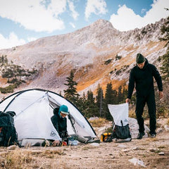
 But of course that was not the plan. We had bigger aspirations for Saturday, which required a good night’s rest. So tents were up by 5, dinner was brewing by 6, and by 7 the sun was down, the moon was up, and we were tucked into our tents, resting our tired legs, and contemplating our approach for the AM.
 When we started to stir around 7, we discussed how best to proceed. While we had achieved the first goal of seeing the impressive waterfall, we had hoped to step it up a notch and do 8 rappels up to 240 feet along a 1.5-mile stretch of Deadman Canyon. Mark and I gently encouraged Jim to join, but we didn’t want to pressure him. After seeing the entry rappel the previous afternoon and thinking it over throughout the evening, he elected to back out and stay at camp. Mark still wanted to give it a go, and his enthusiasm was contagious. After confirming with Jim that he was good to stay at camp for the day, Mark and I wedged ourselves into our wetsuits and set off for our first big adventure of the winter desert season. We didn’t quite get more than we could handle, but we definitely got more than we bargained for.
Now let’s take a little break to talk about evaluating and managing risk.
Q: “How do I know I’m ready for class X rapid?”
A: “I want to pay more attention to my ability to help others–this takes the focus off my own goals, and instead it asks the question, ‘Can I help you in the middle of a class 3 rapid?’ What is my capacity to help? If it’s super easy for me to help you in class 2, I’m probably ready to go to class 3.” - Luc Mehl
Over the course of the past month, as I have been telling people about this trip, I have had a hard time conveying what exactly was so scary. The two biggest things were that the flowing water was cold and loud. The cold was uncomfortable, but the loud made it hard to communicate. When one person was at the bottom of a rappel, and the other was at the top, we sometimes couldn’t see each other, and it felt very isolating. In those moments, we were each alone and couldn’t really help each other.
“Backcountry skiing is not a democracy, it’s a consensus.” - Cody Townsend
Later in the day, Mark and I were discussing two friends who had decided to stay in Phoenix for the weekend, as well as Jim back at camp. I said, “I’m confident that Luke, Danica, and Jim made the right decisions for Luke, Danica, and Jim. I’m not convinced you and I made the right decisions for Mark and Peter.” On the one hand, the smaller group probably made us more efficient, but it also meant we had smaller margins for error. After a lot of drier desert canyons, the cold water had us outside of our comfort zone (see Luc Mehl’s assessment above), and if something had happened to either one of us (twisted ankle or worse), it would have meant more solitude and fewer resources while waiting for or fetching help.
Another way to evaluate your approach comes from the Air National Guard Pararescue team, via Luc Mehl. Rate the plan as a 1, 2, or 3.
1: I think it’s a good plan
3: I think it’s a bad plan
2: I’m somewhere in the middle.
For our proposed itinerary, I think both Mark and I would have rated it a 2. Below are a few things we could have done to move our assessment out of the 2 territory and into the 1, and why we didn’t do them:
- Bring walkie-talkies to communicate over loud water - too heavy.
- Wear thicker wetsuits to be warmer - we didn’t realize how cold the water would be. We don’t own thicker wetsuits. They are also expensive–and heavy.
- Start earlier - no good reason. We went to bed early enough; we should have woken up earlier and got going faster.
- More data - not available on the RopeWiki website where we usually find information. I’m writing this report in part to help other people avoid the situation we were in. I reached out to a friend who had done the canyon a few years ago, but I should have done it sooner to give her more time to get me the answers I needed. As it was, I got some very helpful beta–after we got back to the car and to service.
Having said all that, we made it out safely, and it was a really gorgeous canyon, unlike anything else I’ve seen in Arizona outside of Grand Canyon. We did a lot of things well, and with even better preparation, it could make a really excellent 3-day adventure.
 The first rappel, 5 minutes from our campsite, was roughly 240 feet off of a pine tree right of the watercourse.
 It was quickly followed by a 200’ rappel with a swimmer pothole a little more than halfway down.
 Then we had a ~3/4 mile scenic section with no technical requirements, which allowed us to move quickly while still appreciating the rare opportunity to see water flowing through this remote landscape.
 That section ended with a 30’ nuisance rappel and then another show-stopping 160-footer next to our third gorgeous waterfall of the day.
After that, things got brushy (and slow) for a little more than a quarter mile before slotting up again and giving us two back-to-back rappels that were probably where we were at our lowest in terms of energy and morale. We were cold, there was a brief rain shower (despite a 0% chance in the forecast), and we were starting to have concerns that Jim would be worried when we weren’t back to camp by the time we had predicted. In hindsight, we probably could have headed back upcanyon a bit and bailed via a sidecanyon - but sitting at home, writing this on a sunny Sunday afternoon, I’m glad we stuck it out to the end. We spotted a webbing anchor that would have routed us directly down the watercourse, but the current looked too swift for us, so we set up off to the side, which allowed us to rappel 120’ around the most powerful hydraulics.

From there, remnants of a previous anchor were a good clue of where to start our 7th rappel of the day, a very wet 100 footer into a pool. By this point, we were tired from the cold, the physical exertion, and the mental concentration it took to stay safe. But we also knew we were getting really close to being done. We had less than a quarter mile until our last rappel, and then another quarter mile to our exit, which would be physically challenging, but would require much less focus. Our spirits were further bolstered through exchanged Garmin messages with Jim. We were slow but safe, and he didn’t have to worry. He had experienced some hail, but was doing just fine at camp. We were going to make it.
 Our final rappel was roughly 130’ from a chock stone. The water was still loud and cold, but there was light at the end of the proverbial tunnel. We buckled down and put our training to work. We both made it down safely, successfully pulled our rope, and then took a well-earned snack break before beginning our ascent.
 Next up, about 1.5 miles and 1,200 feet back to the trail (just over 2.5 hours, in wetsuits to protect us from all the cacti, catclaw, manzanita, and other sharp desert flora), and then roughly 1.5 easy trail miles back to camp (40 minutes after we finally changed out of our wetsuits). We started our climb out at 5:20, and it was dark by 6. We were equipped with headlamps that gave the agaves an eerie illumination, making them feel like beacons as we made our way towards camp, tired but exhilarated from the day. The last dollop of icing on the cake was that Jim had a campfire waiting for us when we finally returned to our tents. Needless to say, we slept well that night.
 After a significant Friday and notable Saturday, Sunday’s exit hike was…uneventful. Nine easy miles, mostly downhill, back to the car. It took us about 4 hours at an easy pace, and we made it home to Phoenix in time to recuperate before work on Monday - Mark, the youngest of our crew, even went out to a movie that evening. While I wouldn’t intentionally put myself in the same situation again, I’m proud that we were able to keep our spirits up and our heads on straight in a stressful situation. I’m optimistic that the lessons we learned on this trip will help us make smarter, better-informed decisions on future adventures so we can continue to safely enjoy time outside.
Final Notes on Gear and Preparation
- As discussed above during the section on risk assessment, I think there were a few key items of gear that could have helped us. Here are a few things we did well.
- We brought an extra battery, two phones, and two Garmins into the canyon, even though it was a day trip. This ensured that we had multiple backups for navigation and communication.
- We also had two powerful headlamps, which were clutch on the dark exit.
- We packed extra warm clothes. We ended up not needing them, but if things had gone very badly and we needed to spend the night in the canyon, we would have been OK, even if somewhat uncomfortable. Simply knowing that we had the layers available meant we were less concerned about the late hour and cooler evening temperatures.
- We could have brought more food, but we had enough.
- This was not our first canyon! I have done more than 100 technical descents, over 40 of them with Mark. While this trip was somewhat out of our comfort zone, it wasn’t totally new territory. We communicated well and did a good job supporting each other. As an example - at roughly 7 pm on the climb out, it was dark, and we still had a long way to go, but I was able to bolster our spirits by providing the context that “On most weeknights, we would be heading home from the gym right now.” That perspective helped us feel less all alone in the middle of the woods, even if it was just a mental shift.
- Separate from technical knowledge, all three of us have been running to stay in shape. We were tired at points, but never concerned about our physical capabilities. You don’t need to look a certain way to enjoy the outdoors, but make sure to match your activities to your ability level. If your fitness doesn’t match your aspirations, try an incremental approach and work your way up to where you want to be. The wilderness is much more fun when you can focus on the beauty and not have to worry about your body.