


Words and Photos from Jada “Flo” Lippicott @whereisjadaa
 You probably know it as the great state of Montana, but I know it as heaven on Earth. The Rocky Mountains in the United States follow the Continental Divide, which stretches through New Mexico, Colorado, Wyoming, Idaho, and Montana. Although all of the mountains fall under the umbrella name of the Rockies, each range has its own “local” name. Here in southwest Montana, you will also find the headwaters of the Missouri River. About 20 miles west of Bozeman, Montana, is the town of Three Forks, where the headwaters are. Three Forks gets its name from the three rivers, Madison, Gallatin, and Jefferson, that come together to create the Missouri River. Fun fact: all three of those rivers flow north to reach Three Forks.
The reason they flow north is that the pitch of the Rocky Mountains up here is shorter than the Rockies down south. The Missouri River flows east to eventually meet up with the Mississippi, which then flows down to the Gulf of Mexico. If you think back to the Lewis and Clark expedition, the names of Gallatin, Madison, and Jefferson may ring a bell. Albert Gallatin was the Secretary of the Treasury who played a big role in funding the Lewis and Clark expedition. Thomas Jefferson was the president during this time and the one who commissioned the expedition. James Madison was the Secretary of State and was Jefferson’s right-hand man. Paralleling the Gallatin, Madison, and Jefferson rivers are the corresponding mountain ranges. The Gallatin Range borders Yellowstone National Park on one end and Hyalite Canyon on the other end, and there are over 10 peaks that soar over 10,000 feet in elevation. You will also find the Gallatin Crest Trail within the Gallatin Range.
The Gallatin Crest Trail starts at Buffalo Horn trailhead, which is nestled behind the famous 320 Guest Ranch right off of Hwy 191. The trail ascends the ridge of the Gallatin Range, and it stays on the ridge for the next 35 miles. The last five or so miles descend from the ridge and end at Grotto Falls trailhead, in Hyalite Canyon. In short, the trail is about 40 miles in length, and the total elevation gain is around 10,000 feet. This trail is absolutely incredible, and I finally had the opportunity to hike it after living here for six years!
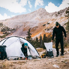
 My partner Jon has spent the summer slaving away at his full-time job while he watches my Instagram stories from my thru hikes across the country. He has never dipped his toes into the world of thru hiking before, so when we figured out that we had some time to get a little backpacking trip in, we agreed that a go at the Gallatin Crest Trail would be a no-brainer! We decided that the best plan would be to spend two nights and three days out on trail. Buffalo Horn trailhead is a little over an hour's drive from Bozeman, where we reside.
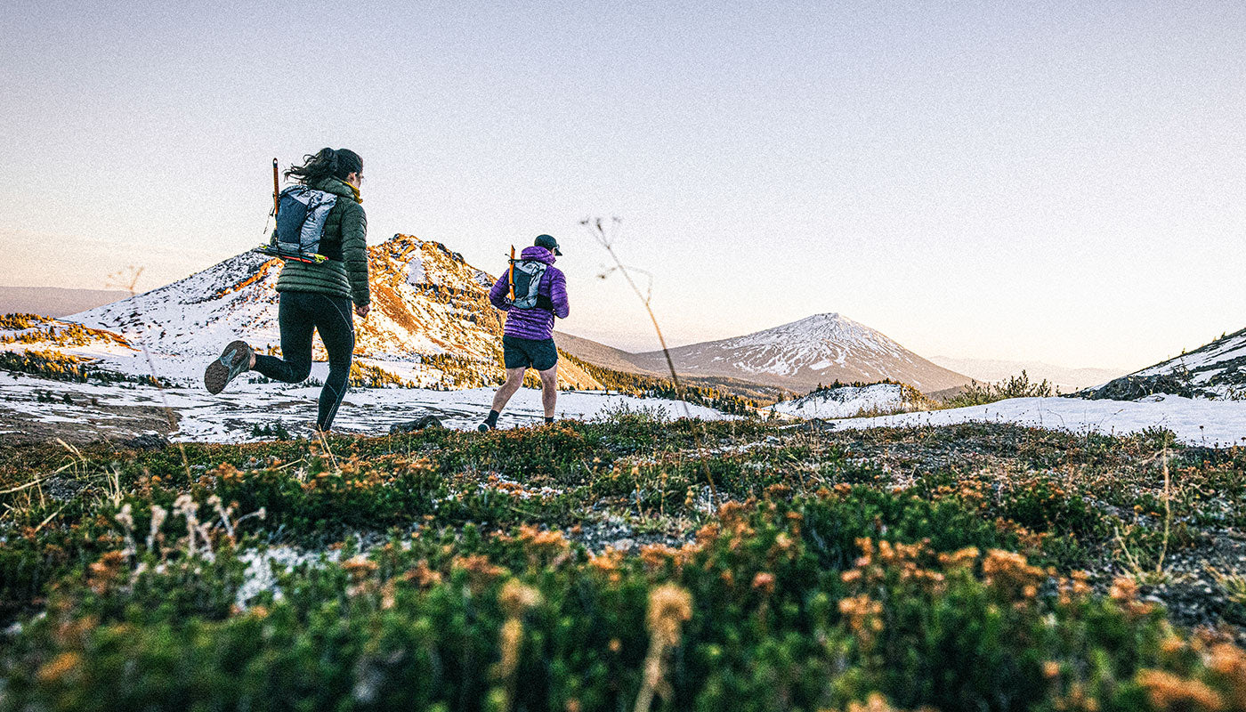
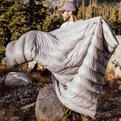
We left Bozeman about 5pm and drove to the trailhead. Since this is a point-to-point trail, we had to have a car to drive us to the trailhead and then stash a car at the end point. My grandma drove us to Buffalo Horn trailhead, and Jon left his car at Grotto Falls trailhead the day prior. We got on the trail about 6pm and decided we would just hike until it got too dark, then set up camp somewhere. Our first couple of miles were spent walking a beautiful valley, slowly working our way up to our first pass, Buffalo Horn Pass. On one side of the pass, you’re looking at Big Sky, Montana, which is a semi-arid desert. On the other side of the pass, you’re looking at Paradise Valley, which is a true desert. (A semi-arid desert gets about 15 inches of precipitation a year, while a true desert gets less than 10 inches of precipitation a year.) You’re straddling the ridge between these two incredible places. We finished our first day on trail after about five miles. We dry camped (did not have a water source nearby and just carried water from the trailhead) in this beautiful meadow, which ensured a front-row view of the Milky Way right above our heads.
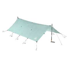
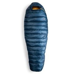
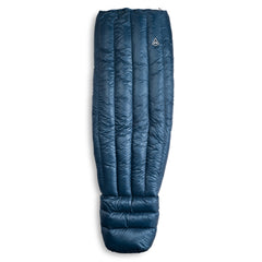
 I’m a big cowboy camper, but Jon hasn’t cowboyed much, so it was something we both looked forward to. I took a foam pad on this hike, and Jon took an inflated pad, but it was a few hours into the night when we both realized that Jon’s pad had a hole somewhere - oops! Even though it took a couple of inflations throughout the night, we both slept very well. We woke up around 6:30 the next morning to ice on everything! Winter was most definitely coming. We lay there for a little bit, but we both knew that the day was going to be quite a big one, so we quickly packed up camp, put on all of our layers, and started walking. This is where Jon learned the phrase, “Be bold, start cold.” If you start a little chilly, you’ll warm up quickly on the climb and not have to stop again to take off the layers. It doesn’t take us long before we are officially on the ridge and crossing Buffalo Horn Pass.
Something to note about this hike is that, because you’re on a ridge the whole time, there are not many water sources. From camp, we had about 4 miles to our first of three water sources for the day. Ramshorn Lake is a beautiful lake that’s nestled right under Fortress Mountain (aptly named). A giant wall of mountain extends straight up from the lake. As Jon and I were enjoying our breakfast, gawking at the lake, we started hearing boulders crashing down. We looked up, and there were about 20 mountain goats that were traversing through. As we’re chilling watching the goats, Jon looks under a tree and finds a stuff sack that’s filled with trash. He opens the sack, and along with wrappers, he finds an unopened Peak Refuel dehydrated meal–ground score! We pack out the trash and our newly acquired 800-calorie dish for dinner that night, then continue on the trail. The next water source that we KNOW exists is about 20 miles away, and between us and that next lake is a whole lot of up and down. We each pack out two liters of water. We start climbing from the lake, and come up on a herd of bighorn sheep. They are all just basking in the sun while they eat, so we make sure not to disturb them and continue on our way. We get our first view of the Madison Range, including Lone Peak, which is the mountain where my home ski resort is, and it’s just such a beautiful day.
Sometimes the Gallatin Crest Trail is faint, so I’m grateful to have maps downloaded on OnX Backcountry. This gave me a GPX track to follow, so I made sure to keep us on the right track. It’s a lot of straight up and straight down. There aren’t too many switchbacks on this trail, which means that your descents are rocky, and it’s easy to misstep and take a fall. The ascents are even steeper! The ridge spends a lot of time above treeline, so you want to make sure that you have good weather when you hike the Gallatin Crest.
 Thankfully, we had sunny weather the whole time. This comes with its own challenges, though, because when it’s hot as heck, no shade, and no water sources, you have to be sparing with the water that you’re carrying. You drink too much, and you run out, but if you don’t drink enough, dehydration is a dangerous game to play. We stop for lunch when we’re about nine miles in for the day. I make my trail pizzas, which include tortillas, bottled pizza sauce, pepperoni, and shredded cheese. Jon has some bars and gummies. We look at the map, and we’re about five miles from the Windy Pass Forest Service cabin, which is rentable! In my head, I’m thinking, “Ok, well, they’d definitely build a cabin near a water source, so I’m sure we will have water there.” It’s the end of September, and this is the driest time of year, so all water sources are currently at their lowest levels for the season. We take that into consideration and hope that we’ll come up on a creek.
After a few thousand feet of ascending and a few more of descending, we hear the glorious sounds of a bubbling brook right at the base of Windy Pass, right before the cabin. This wasn’t a water source that we thought we’d have, so it was a wonderful sight. We’re about 14 miles in at this point, and our next and only other water source that we know is up here on the ridge is more than 10 miles away. That is what we have our eyes on for our campsite. Before today, Jon’s biggest hiking day had been 20 miles, and the most elevation he’s ever climbed in a day was 6,000 feet of gain. If we make it to that water source that we have our eyes on, it will not only be his biggest mileage day but also his biggest day of vert.
It’s the heat of the day at this point, and we’re both just chugging along. Jon is starting to get some pain in places that he’s never felt before, and that requires some deep digging to continue on. At this point, we haven’t seen a soul since we started the hike. As we’re sitting on top of Sentinel Peak, we notice two horseback riders coming our way. They turn out to be hunters who are on the lookout for elk. After a nice break and chat with the hunters, we push on.
 We have about two more hours of daylight and five more miles to go. We’re 20 miles in for the day, and we’ve climbed well over 6,000 feet in elevation. Jon is in pain, but he realizes that we really need to make it all the way to where we planned to camp, as we need water. A few hours later, right before it gets pitch black, we arrive at Crater Lake, the site we had planned when we woke up that morning. Jon hiked over 25.5 miles with over 7,500 ft of elevation gain, his biggest day ever. He fell over as we got to camp, and I couldn’t have been prouder of him. He looks up at me and says, “I knew you were tough when I saw the pictures of what you do, but now I know you’re tough, actually experiencing what you do.” I look at him and say, “Yeah, now think of doing this every day for three months straight!” We ate so much food that night, including the Peak Refuel meal that we had found earlier that day.
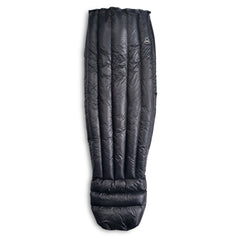
We’re not even lying down all the way in our sleeping bags before ice forms on the footboxes of our bags. This may be a drawback of cowboying, but getting to lie under the stars with my partner after miles of absolutely CRUSHING is like my favorite part of the whole day. Jon understands the kind of satisfaction you get when you’re lying down after a day like that and looks at me and says, “Yeah, I get why you love this so much.” We’re 12 miles from the end of the trail when we wake up the next morning. Because we don’t have a big day, we decide to sleep in a little bit and let the sun melt all the frost off of everything.
This last section of ridge coming into Hyalite Canyon is absolutely spectacular. We do a side quest to summit Hyalite Peak, which is the highest peak in Hyalite Canyon, standing at 10,295ft. After summiting the peak, it’s downhill for the next seven miles! I let Jon lead for the last five or so miles so we can spend the rest of our time on trail together. He talks about how the pain he started the trail with no longer hurts, but in turn has been replaced by a new pain, and I tell him that’s what thru hiking is sometimes about.
 We get to the car at Grotto Falls trailhead, and our thru hike of the Gallatin Crest Trail is complete! I am so proud of Jon, and I can tell that Jon is proud of himself, too. All 40 miles of the Gallatin Crest Trail are incredible. With over 10,000 feet of elevation gain, your time on the ridge is nothing short of brutal, but it sure is beautiful. The lack of water up there is something to be mindful of, but it is not something that should stop you from doing this spectacular route. Thankfully, we had fantastic weather, but if the weather were to shift, that would be something that would probably be a hike-ender, just because you are so exposed up there. We didn’t even run into another hiker until we were a few miles out from our endpoint at Grotto Falls trailhead, so be prepared to have the beauty all to yourself up there. The Gallatin Crest Trail is a great first thru hike, and I promise that it will leave you wanting more, too!

