The early morning light washes the desert-scape in pastels; we soak it up before we put wheels on the road. Once the sun crests the skyline, it’s back to the business of relentless pedaling. Wind gusts blow sand across our path and exposes the light underside of the aspen leaves. It takes us three hours (and four liters of water each) to summit Bennett Mountain, after which it is down to Castle Rocks and across Highway 20.

We hole up at an RV camp to sit out the heat of the day, where we hydrate and ask about our route to the town of Pine—our next waypoint. From the maps, it appears there is an unimproved road connecting to the next reservoir and eventually to Pine. Our conversation progresses something like this:
“Road? There’s no road…”
“Well, you see that property across the field? There’s a dirt road over there, but you’ll have to walk through the saw-grass to get there. Rattlesnakes!”
“Well, if you head down the hill a bit, you’ll find a tractor path to that dirt road…once you’re there, it’s level for a bit, then all downhill.”
We continually found that “level” and “all downhill” are both words that locals use to describe a road they took before it headed up and they turned around. In our case, the road ends at the next reservoir forcing us to bushwhack up the adjacent hillside to find another road. As we top out, I hear Chris mutter “ouch.” Of all the four-letter words, this one does seem most appropriate. The desert scrub shredded our legs and our muscles are spent from cramping. Deprived of electrolytes, we’re craving a salt lick.
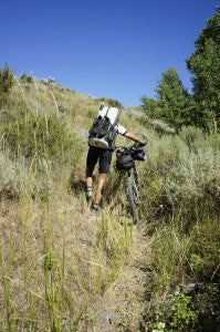
As we roll into Pine, we prop our bikes against a diner and saddle up for burgers and fries. Well, I saddle up for burgers and fries and Chris, completely nauseous, watches me eat his fries. We stock up on salty foods and make camp by the reservoir. Chris finally finds his appetite and sucks down a jar of pickle juice. Meanwhile, I tend to the latest issue of the hour. While I stuffed only bulky, light supplies in my pack—the PFD, paddles, and bivi gear—the added weight of the pack has caused saddle sores. “An issue serious enough to force riders out of the Tour,” shares Chris. “You ride until the pain becomes too much…or you get an infection.”
I rifle through my first aid kit and find Keflex, an antibiotic to treat, among other things, skin infections. As I open the canister, I read a fold-out warning: “Persistent diarrhea may rarely occur weeks to months after using.” I weigh the risk of infection against our supply of Imodium and warily take my first dose.
Fortunately (for me) the following day was only 25 miles of riding before we turned north to skirt over the shoulder of the Sawtooths. Unfortunately for Chris, that meant pushing bikes up 5,000 feet of motorcycle trail. A self-proclaimed non-runner, he’s been blunt about his abilities on foot. On the map, this route looked to be the path of least resistance while honoring the mechanized travel restrictions in the Sawtooth Wilderness. In any case, I relished the change.
The trail was rideable for the first mile, after which it became a bed of loose stone. Seven miles into the push, we pass a pair of motorcyclists. “You boys are ambitious…” He stops to readjust his mounted chainsaw.

While Idaho boasts over four million acres of wilderness, the majority of our land is BLM, unrestricted and open to anyone. These guys were here on a weekday, maintaining the trail for fun. Of course, we each had our own idea of fun and ours was getting to Alturas Lake before night.
“No way; can’t be done,” quips the biker. “It takes us a full day to get there and back on motorbikes.”
We continue push our bikes to just short of 9,000 feet where we camp for the night. Alturas is another pass and 13 miles of single track away. The soil is wet; snow blankets the north side of the cirque and probably lined the meadow a mere week before. We eat and hunker down for the night.
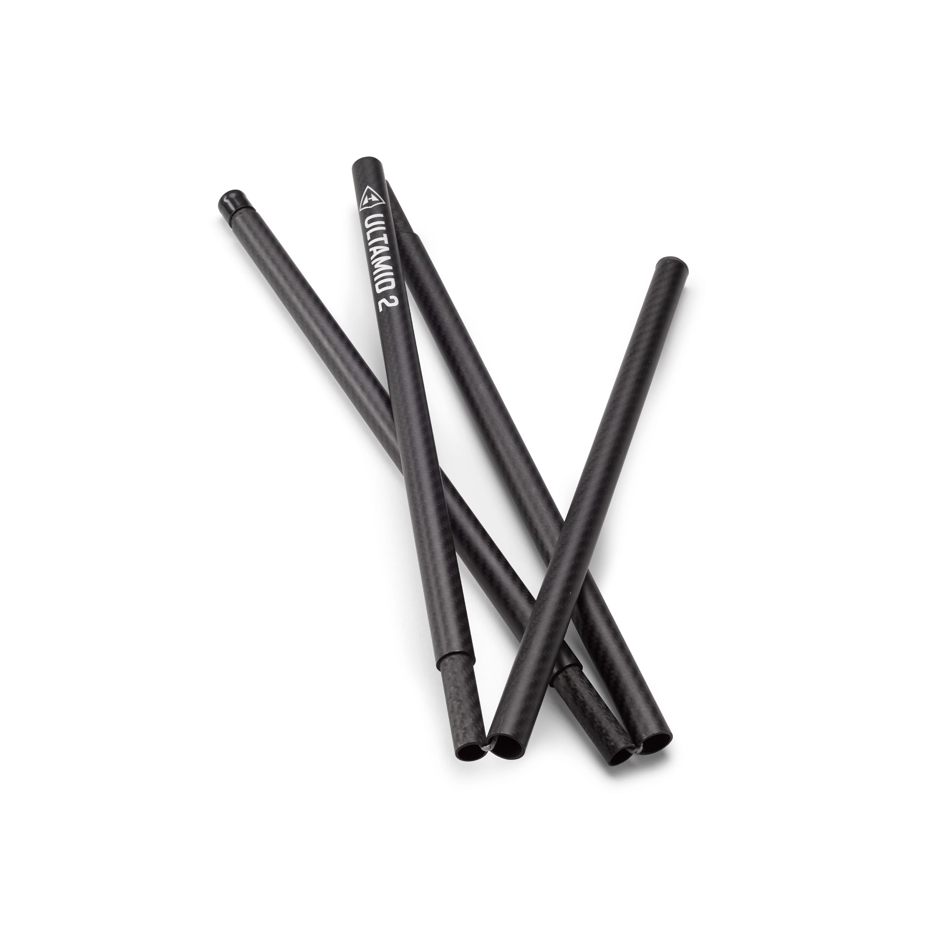
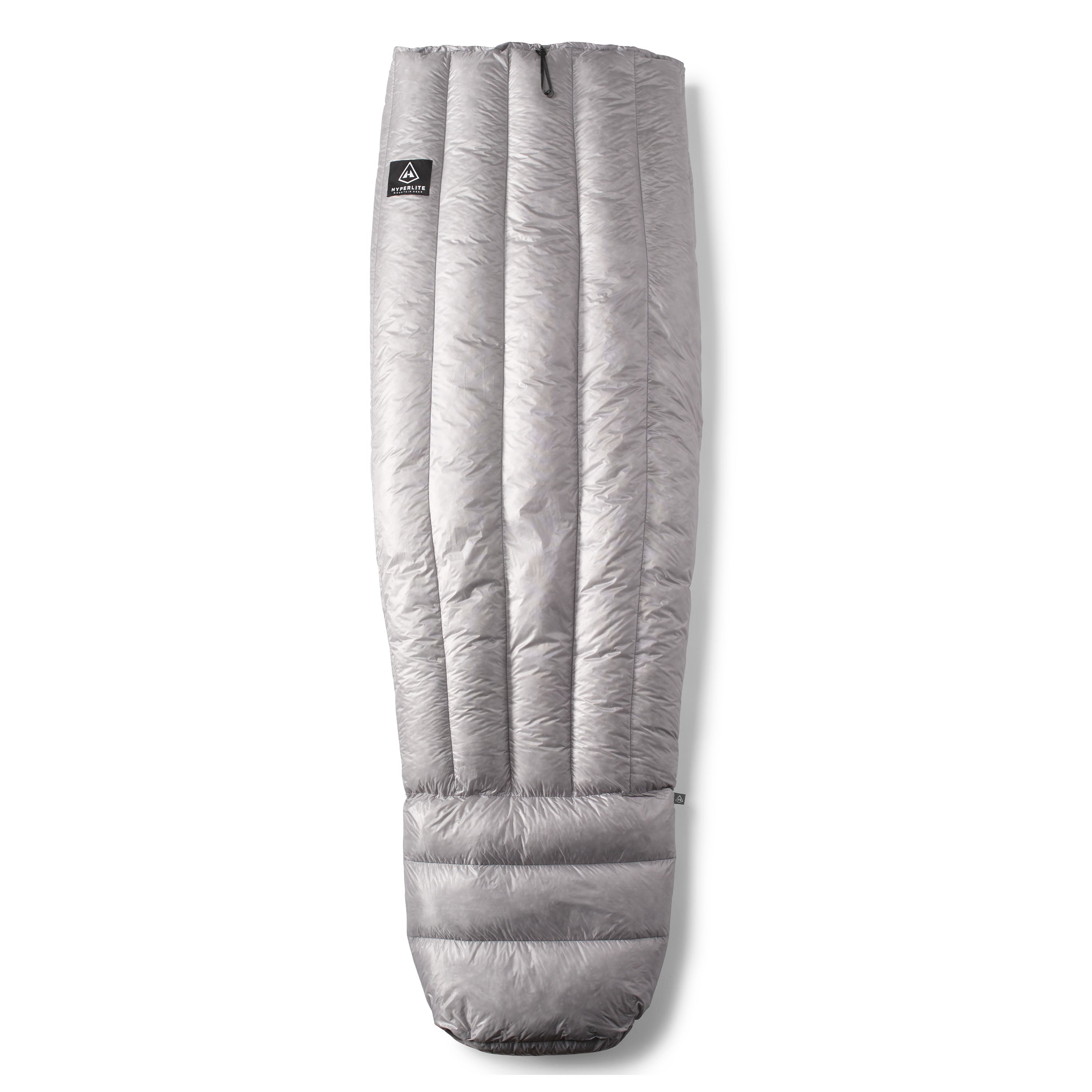
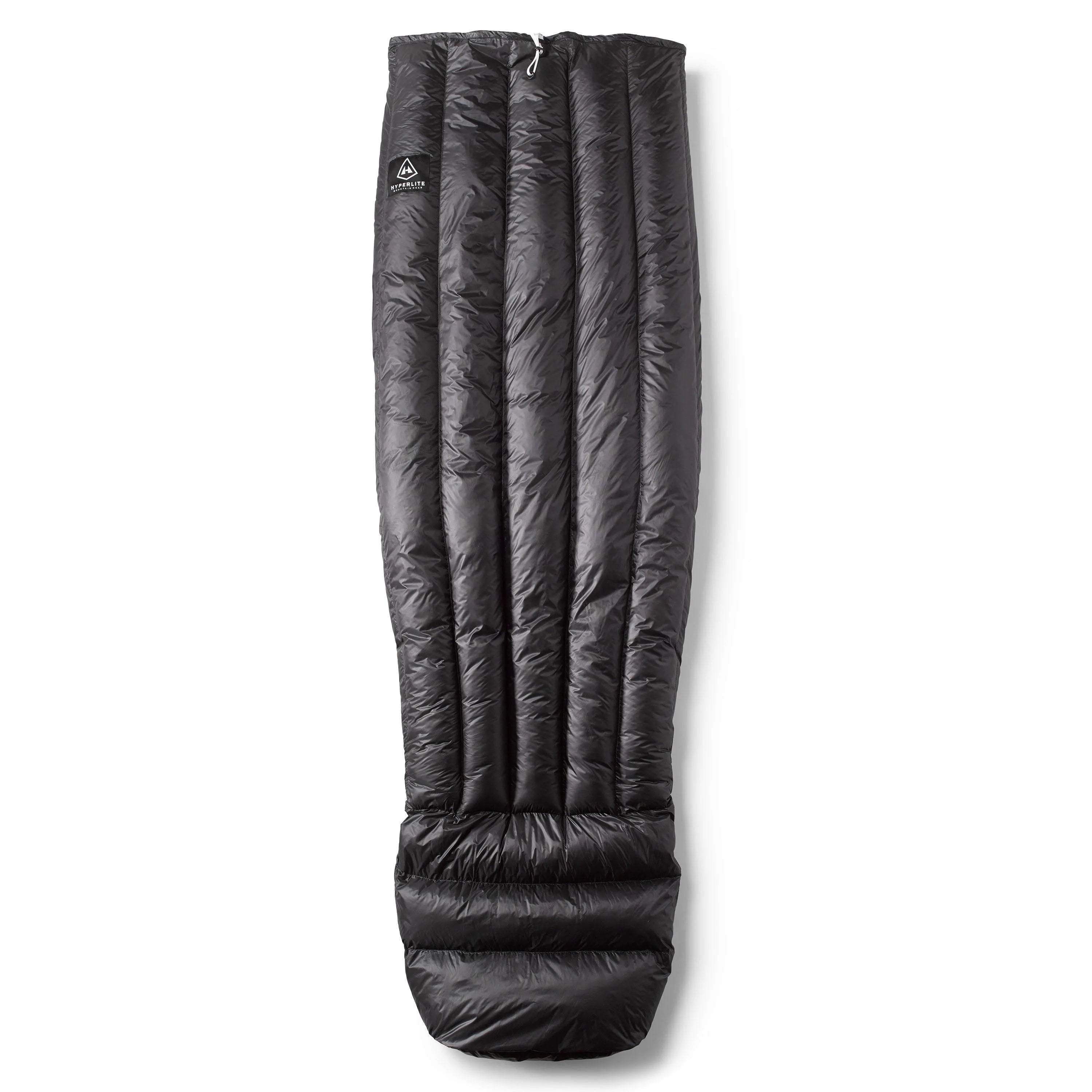
Our sleep systems are ridiculously simple for this altitude. We pull on all of our clothes (including our rain shells), wiggle into our custom 8-ounce, half-length quilts and shove our legs into our packs. As if to sniff out warmth, we bury our noses in our parkas and shiver until first light.

While morning reveals another stunning view, we’re quick to break camp and get back to the monotony of pushing bikes to the final summit ridge. The backside is dense with trees, shading the trail, which is still covered in snow. We continue to walk our bikes, this time downhill. Itching to go, at 7,500 feet Chris pops the clutch, swings a leg over the saddle and roars down the mountain. The trail cuts tightly through the steep mountainside over rooty, rutty and muddy terrain.

A much better cyclist than me, I struggle to keep up. That is, until I see his front wheel dive deep into a rut. His fork compresses completely. Then, as if in slow motion, it recoils, pitching him over his handlebars and into the wallow. Cautious, we throttle it back as we descend into the valley and onto dryer ground.
The pleasure of the descent quickly comes to an end as we are forced to walk it out other side. Shorter, and with less elevation, we make the next summit in three hours after which the thrill of another descent brings us down to Alturas Lake.

Riding echelon, Chris and I swap leads into Stanley. My saddle sores force me to continually readjust, which essentially just widens the damage. We only have one more day of cycling ahead of us before we return to the boats for 250 miles. Once in Stanley, I notice my eye feels dry, irritated—like something was in it, but nothing is. I pass it off as dry eyes and, exhausted, I quickly fall asleep.
The post Idaho Traverse; Part III appeared first on Hyperlite Mountain Gear Blog.
