


Words and Photos by Josh “Soulslosher” Sheets @soulslosher
 QUICK HITS:
· Length: 335 miles
· When to Hike: Spring and/or Fall; winter if you’re hardy
· Why Hike: Robust trail towns, easy resupplies, devout community of trail angels, maintainers, and organizers, surprising southern Appalachian beauty, and an underrated link in the Eastern Continental Trail (ECT)
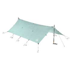
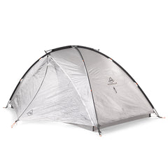
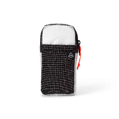
· Hyperlite Gear Utilized:
o Mid 1
THE DEETS FROM SHEETS
Pinhoti Trail. Pin-hoe-tee: Native American (Creek Indian) for “turkey home” and, thus, the Pinhoti is the “land of the turkey”. I saw a ton of them! This trail is a true stunner; do not sleep on Alabama! If you’ve never been to Alabama and you enjoy hiking or backpacking, this trail is a fabulous reason to visit the state. The Pinhoti traverses the southernmost spines of the Appalachians. The southern terminus is atop Flagg Mountain, which is the southernmost mountain in the Appalachian chain that is 1,000+ feet in elevation. The northern terminus intersects the famed Benton MacKaye Trail deep in the Chattahoochee National Forest in Northern Georgia. If you really wanted to, you could link the Pinhoti to the Benton MacKaye to the Appalachian Trail. Indeed, “Bama to Baxter” was made famous by Nimblewill Nomad in 2021. Heck, if you really, really wanted to, the Pinhoti is mainly how you connect the AT to the Florida Trail to make the exceedingly long Eastern Continental Trail (ECT). But! I am getting ahead of myself. I thru hiked the Pinhoti Trail last Fall with some PCT tramily from 2022. We had a hoot! Let’s delve in, shall we?!
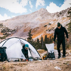
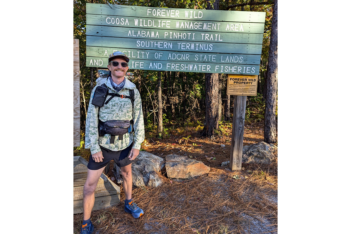
 A hike starts with the necessary logistics. Almost every hiker I have encountered hiked this trail from South to North due to the ease of logistics in the southern part—and that is what we did. The northern terminus is very remote. After finishing there, hikers often must hike out to a trailhead or road where a ride can retrieve them. We used the Pinhoti Outdoor Center. Kimm and Nathan specialize in running a hostel, doing shuttles, helping with food and/or water caches, and overall trail information. We utilized them to give us a nice start. I brought my trusty Hyperlite kit along for this trip and it performed flawlessly in the Alabama Wilds!
 FLAGG MOUNTAIN TO TALLADEGA, AL
Once the hike was underway, I was immediately impressed with the high-quality maintenance and frequent trail markings of the Pinhoti. While this trail has been gaining in popularity, it certainly isn’t a highway for thru hikers like the AT or PCT. In fact, most hikers we saw were day hikers or hikers that were doing sections. After departing Flagg Mountain, we soon were on one of the (paved) road walks, which was not bad because we were deep in the country and the traffic was nil. The trail goes right through the very small town of Weogufka and, for a blast down Southern Memory Lane, we stopped into Caperton’s Old South General Store & Pawn Shoppe. Complete with snacks and southern memorabilia, this place might indeed make some people feel like such prominence of “the Old South” is sort of wrong. Yet, I appreciated seeing a part of the country were roots to the Civil War, Confederacy, and historical southern pride stand in great contrast to the progress that we have since achieved as a whole nation. Moving on, literally, down the trail, you often walk forest service roads and singletrack to regain the ridgetop. It was here where we took a short detour (say it with me: I… Am… Not… A… Purist!) up to the abandoned fire lookout tower atop Horn Mountain. When you see the photo below, I don’t really care that we missed a few miles on the Pinhoti. The following day, we found ourselves at the wonderful Next Step Hostel.
 TALLADEGA, AL TO HEFLIN, AL
Along the trail, there were multiple tinges of autumnal color from the oaks and maples in the understory; all of it amongst the towering longleaf and loblolly pine trees. It was quite beautiful and I never felt like I was in a “green tunnel”. That is possibly because Alabama is one of the most biodiverse states in the country and the most biodiverse East of the Mississippi. The scenery kept changing. The forest in AL can be thick and dense but often opens up to expansive views atop the ridges or has low-level trees and brush due to the frequent prescribed burns along the trail. We were hiking in Fall but since this is the deep South, it was late October. And, in both a twist of unfortunate and fortunate events, it was rather warm and had been quite dry; the heavy rains from Helene had not delivered any rain (or destruction) to the area. Therefore, we found ourselves relying on water caches more than I thought would have been necessary.
 Continuing northbound, the trail enters Cheaha State Park, which features the highest point in Alabama: Mt. Cheaha at 2,407 feet. The trail through the State Park is stunning, with frequent views out and down to the valley. I highly recommend taking the side trail to Mt. Cheaha, as it is not right on the trail. An awesome CCC-era stone lookout tower awaits you! Once you traverse the highest ridge, you drop down to access for Heflin, AL. I (also) highly recommend taking either the Spur Trail, hitching in, or walking to downtown. Stop into City Hall and sign the register. If you’re lucky, you might just meet the Mayor! Heflin does not take hikers for granted and has worked hard to not only embrace but promote being a Trail Town. “Super Tammy”, who is employed by the town as a sort of “Welcomer” to hikers, among other official town duties, gave us a ride back to the trail.
 HEFLIN, AL TO CAVE SPRING, GA
The trail between these two great lil’ trail towns was a blend of awesome and tedious. Awesome because who doesn’t love to cross a state line on a trail but tedious because we had to traverse an off-road park where the trail was rocky, washed out, and steep. But even this area was capped with one of the best views on the entire trail! Dropping back down and then walking into Cave Spring was something of a time warp. The town is small, welcoming to hikers, and quite historical. We opted to stay at the Hearn Inn (special hiker rate!) and it was so cute, cozy, and time appropriate. I had quite possibly the best steak dinner ever at Linde Marie’s Steakhouse on the Square. And before we departed the following morning, we filled up our water bottles from the gushing spring (that gives the town its name), located in Rolater Park. That spring produces a near-constant 2 million gallons a day at a quite refreshing 57 degrees.
 CAVE SPRING, GA TO CHATSWORTH, GA
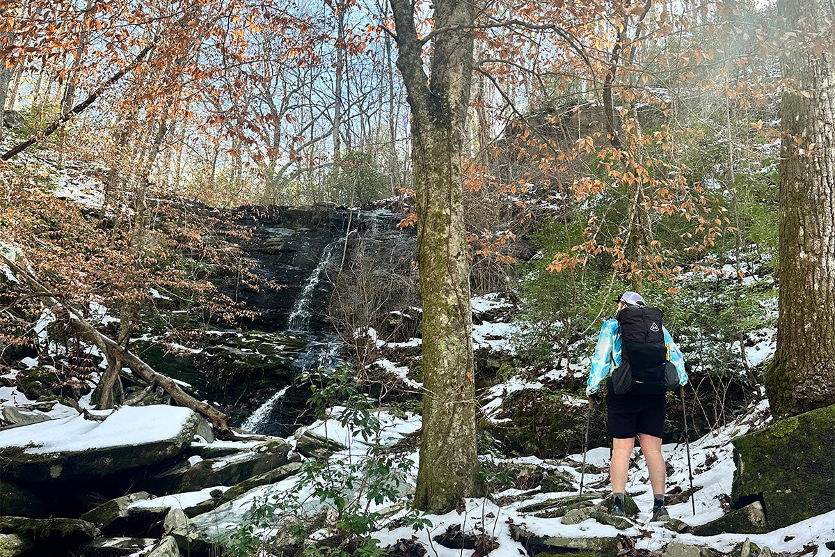
Back on trail, with very mellow trail unfurling ahead of us, the miles ticked by at a clip! The next highlight on trail is known as Keown Falls. We basked in this unspoiled and beautiful geological wonder because perhaps the most unattractive road walk of the entire trail laid not too far ahead of us—the Dalton Road Walk. It’s infamous. How infamous? Well, to cope with and blunt the suck factor, we got some Steak n’ Shake burgers and fries along with Krispy Kreme donuts, resupplied at Kroger, and then sauntered ahead with a sugar high that was weighed down by too many hamburgers and perhaps too many beers in our packs, as well. We overnighted at Toadshade Hill that features cabins you can rent for the night. One of the caretakers, Sarah, informed us that the one we all shared (Brown Door Cabin) was taken apart in Dollywood, TN and reassembled on-site in Chatsworth, GA. You just don’t find that kind of awesomeness anywhere!
 CHATSWORTH, GA TO NORTHERN TERMINUS
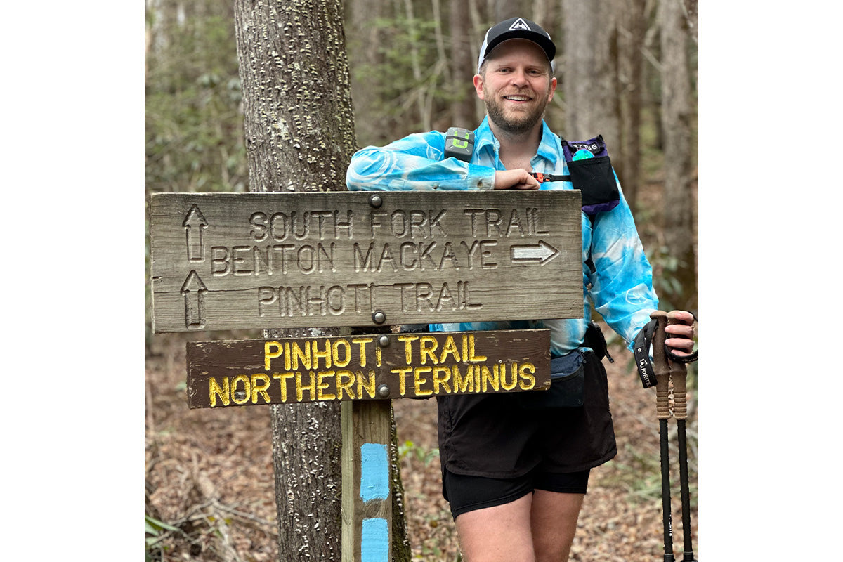
I was so stoked for the last leg of the trip and was nearly champing at the bit to finish. I was stoked to be back in the Chattahoochee National Forest. With memories of my AT thru hike shoved to the front of my mind, I was nearly glowing. Yet, the “Hooch” shines on its own accord and is one the largest National Forests in the East. It is dense forest with ample freshwater and it makes you feel like you are in sheer expansive wilderness. What a way to finish a trail. I moved at a decent clip and enjoyed all of the stream crossings, treating them like obstacle courses I had to successfully maneuver in order to finish. One night, we camped at the base of a massive poplar that is estimated to be 300-500 years old; the Gennett Poplar and it is the second oldest tree in Georgia. In the coming days, we would tag the northern terminus sign and bask in yet another trail checked off the list. I was in such great company and didn’t care that the terminus is literally a trail junction by a stream. Sometimes, termini of trails aren’t grand or that picturesque but more symbolic in nature.
 PINHOTI RECAP
This Southern Gem is just the right length for a long shakedown hike before a bigger trail or to complete on its own. I enjoyed finishing this trail, as it is one more “link” completed in the Eastern Continental Trail. The Pinhoti has beautiful and floristically diverse areas that are unsuspecting as well as rewarding. I was also rather surprised at just how mountainous Alabama is… and there was a lot of that famed “southern hospitality” to go around, too. I keep saying how the shorter trails are where it’s at… they can easily pack in all the experiences that are loved and cherished on a much longer trail without having to seriously disrupt your life.
There is a concerted effort to make the Pinhoti an official part of the AT and to actually move the southern terminus of the AT to Flagg Mountain. While this is not a new concept, there are revived and dueling viewpoints about it. I happen to fall in the “connected but separate” camp. While the Pinhoti traverses the southernmost Appalachian Mountains, I appreciate it for what it is – it has its own flare and character. And while there are certainly economic reasons for incorporating it into the AT, one should be careful what they wish for when they want more and more people to come. As it stands now, you can certainly do “Bama to Baxter”; no one is stopping you. Or there is an array of options for day, section, or thru hiking the Pinhoti. But please add it to your to-hike list because it really is a sweet, sweet trail that should not be passed over.