


Quick Summary
The Centennial Trail runs 128 miles through South Dakota's Black Hills from Wind Cave to Bear Butte. Most people have never heard of it. This is a full thru-hike account of why that should change.
WHY THE CENTENNIAL TRAIL DESERVES YOUR ATTENTION
There’s a spot in Middle America that can afford you numerous wildlife sightings, a chance to see very interesting cultural sites, awesome rock formations, and visit the highest point East of The Rockies and West of the Pyrenees in France. Where could I possibly be referring to?! South Dakota! Specifically, the southwestern corner of South Dakota offers great outdoor recreation—more than you might imagine!
In mid-to-late May, I successfully completed a thru hike of the Centennial Trail (CT) through the Black Hills of South Dakota. The trail runs about 128 miles from Wind Cave National Park to Bear Butte and was completed in 1989 to commemorate 100 years of statehood. I wish all states had something like this to showcase the natural beauty of their respective state.
The Black Hills area is massively underrated because of the towering granite peaks and huge wilderness areas in neighboring Wyoming and Colorado. Undeterred, I bought a plane ticket to Rapid City and booked a shuttle with Roam’n Around. Jon and his wife Bridget operate a seamless shuttle business alongside Roam’n Around, the only outfitter in Rapid City.
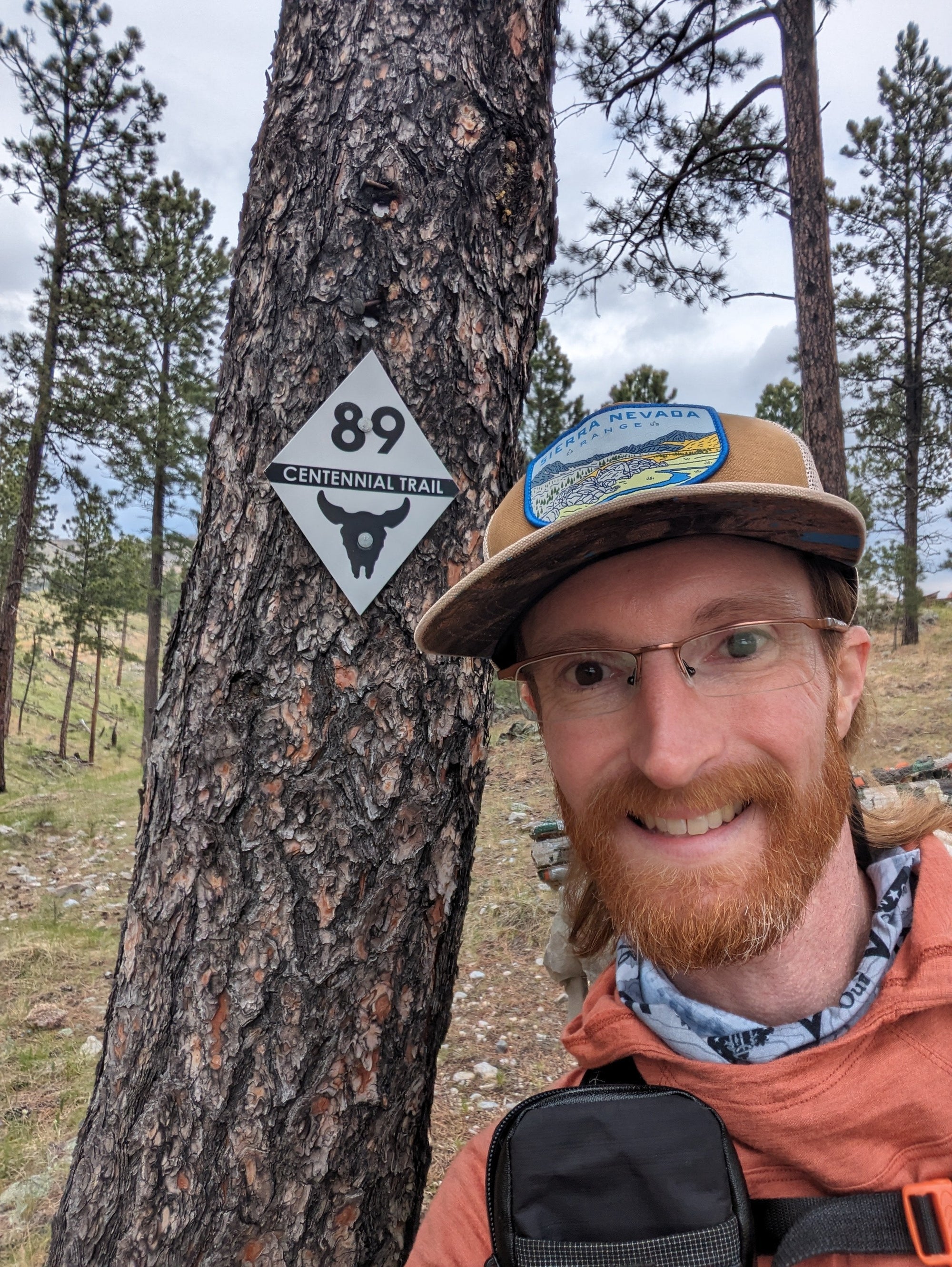
WIND CAVE TO CUSTER STATE PARK
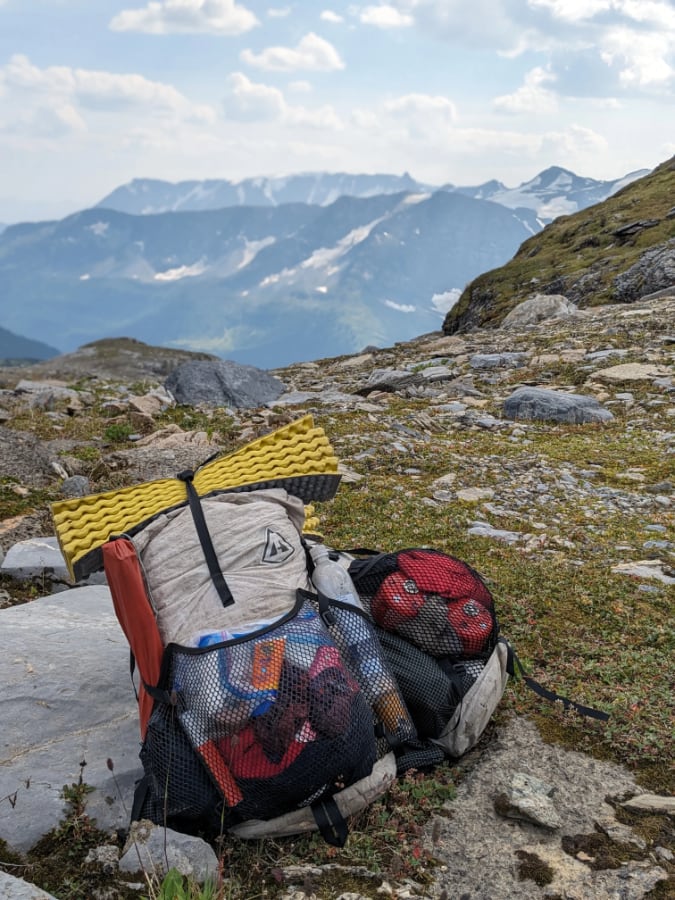
I was dropped off at a rather nondescript trailhead in Wind Cave National Park, signaling the southern terminus of the Centennial Trail and the start of my northbound hike. I was eager to start hiking because I had never been to this part of the country, and I was about to walk through an area with bison. Sure enough, within the first mile, I spotted my first one! These animals can cause somewhat of a concern with some hikers because of their sheer size (grown males can weigh up to 2,000 lbs.) but if you don’t get too close (as with all wild animals) they pose no real threat. I continued through Wind Cave National Park and entered Custer State Park. I was struck at how much greenery there was, green grass, green trees, etc. I was halfway expecting to walk through dusty prairie country, but this just wasn’t the case in late springtime! The bison sightings continued through Custer State Park. A note about this area (through Custer) is that camping is only allowed in a specific area near the French Creek Horse Camp. Speaking of French Creek, on Day Two, I had to ford this ice-cold creek that was about knee deep. I had the feeling that I was on a true wilderness hike!

THE CATHEDRAL SPIRES & BLACK ELK PEAK SIDE QUEST
By the middle part of Day Two, I arrived at the Iron Creek Trailhead and decided to take a left, veering off the Centennial Trail and up the Norbeck Trail, entering the Black Hills Wilderness. I had done my homework prior to embarking on this hike and had decided to add on a loop that would let me visit the towering formations of Cathedral Spires and the highest point in South Dakota, Black Elk Peak (7,242 feet). While these two locations are not on the Centennial Trail, I decided to take a detour to see them because, as the photos show, it was indeed worth it! I camped within the “bowl” of Cathedral Spires. I could hardly believe I not only had it to myself but that these towering spires were painted in the pink glow of a sunset.

On Day Three, I returned to the Centennial Trail via the Grizzly Bear Creek Trail. No worries, no grizzlies in the Black Hills; just a name! This trail was a treat because, since it is within the wilderness area, it was not manicured, and it felt like I was in true wilderness. Because I added the loop to see Cathedral Spires and Black Elk Peak, by the time I rejoined the Centennial Trail, I had only missed about two miles of the CT. This didn’t faze me because of the epic sights I just witnessed but the fact that I hiked about 13 more miles than if I had just stayed on the CT.

MT. RUSHMORE FROM THE TRAIL
I soon came to the junction for Mount Rushmore and didn’t even think twice about whether I should take it. This mountain carving is quintessential Americana and quite a sight to behold. Literal – and detailed – faces of Washington, Lincoln, Roosevelt, and Jefferson carved in granite. It was at the visitor’s center where it dawned on me that this trail is plush for amenities. I have seen vault toilets every day, ate at the lodge of Legion Lake and now Mt. Rushmore, with more amenities in the days ahead!

SHERIDAN LAKE AND PACTOLA RESERVOIR
After departing the Mt. Rushmore area, the trail skirts several large bodies of water, including Sheridan Lake (be sure to check out the marina just a short stroll from the trail!) and Pactola Reservoir. This area of the trail is a mix of open pine forests, meadows, and picturesque strolls along the lake and reservoir. Yet, pay attention while in this area because dispersed camping can be challenging in this area due to high grass and being close to civilization / private property, at times.

NAVIGATING THE PILOT KNOB TO DALTON LAKE
Once you reach Pilot Knob TH, your hike will likely change vibes. You will join two-track dirt roads from here to Dalton Lake. It can make for easy walking, if it is dry. If it has been wet, this can be a very muddy, not pleasant stretch of trail. Coupled with the fact that ATVs are allowed in this section. Most are friendly, just wave! Who knows, you may be offered a Busch Light… they seem to be what everyone drinks in these parts. Speaking of… I stopped over at a bar in the town of Nemo to wait out a hailstorm. The locals were drinking “Red Bud” (Bud Light and tomato juice) and “Beertinis” (Coors and olives). Yes. . .

ELK CREEK GORGES AND WATER CROSSINGS
Reaching Dalton Lake was something of a killjoy. I was finally out of the muddy ATV section and wanted to stop to camp by the lake at the campground. But I didn’t stay long. I decided to hike out to leave the noisy dirt bikes in the campground and hoof it up to the ridge where I camped overlooking a gorge. Good decision! This section of the trail overlooks vast canyons and gorges, and it wasn’t something I was expecting! The Black Hills kept on pleasantly surprising me! Since I was hiking in spring, water availability hadn’t yet become problematic. However, the later in the year you hike, the higher the risk of there being no water in Elk Creek. My luck? I had to ford this four times!

THE FINAL PUSH TO BEAR BUTTE
I rolled into Alkali Creek Campground and chose a secluded site way in the back. I chose to not pitch my beloved Mid One, instead, opting to cowboy camp on a huge picnic table. IYKYK. This is another area of the trail where dispersed camping can be somewhat difficult to find due to the proximity of I-90 and the town of Sturgis. The trail skirts Fort Meade Cemetery and allows you the first look at Bear Butte, a towering volcano-like object off on the horizon. Fun fact: Bear Butte looks like a volcano, but it never fully formed! The final stretch of the trail to Bear Butte will take you through prairie grass and wide-open spaces that the middle of the country is known for. Watch your footsteps in this area, as Prairie Rattlesnakes are quite common here.

It was tempting to just sprint up to the top of Bear Butte, about a 1,000-foot climb. But I decided to stop at the visitor’s center there to survey the cultural significance of this area. Please do not disturb the prayer cloths that adorn the trees. After arriving at the top, be sure to take in the sights of the prairie country and look back south to the Black Hills. You have conquered some of the best outdoor places in South Dakota!