Words & Photos by Bethany "Fidgit" Hughes // Her Odyssey
Distance: 132.23 Miles (212.8 km)
Duration: 8 - 14 days
Level: Moderate
Season: May-November
Access: Pisac, Peru - Cachora, Peru
While Machu Picchu is the focal point of almost all tourism in Peru, there are thousands of sites and interest points which are missed. If you have designs on visiting this area but want to do it with fewer groups, rushing, and hubbub, I suggest taking your time and walking the Sacred Valley. Salt pans, Inca fortresses, and the Choqueqirao ruins are right there at your feet. Another advantage of this journey is it can be done with very little pack weight.
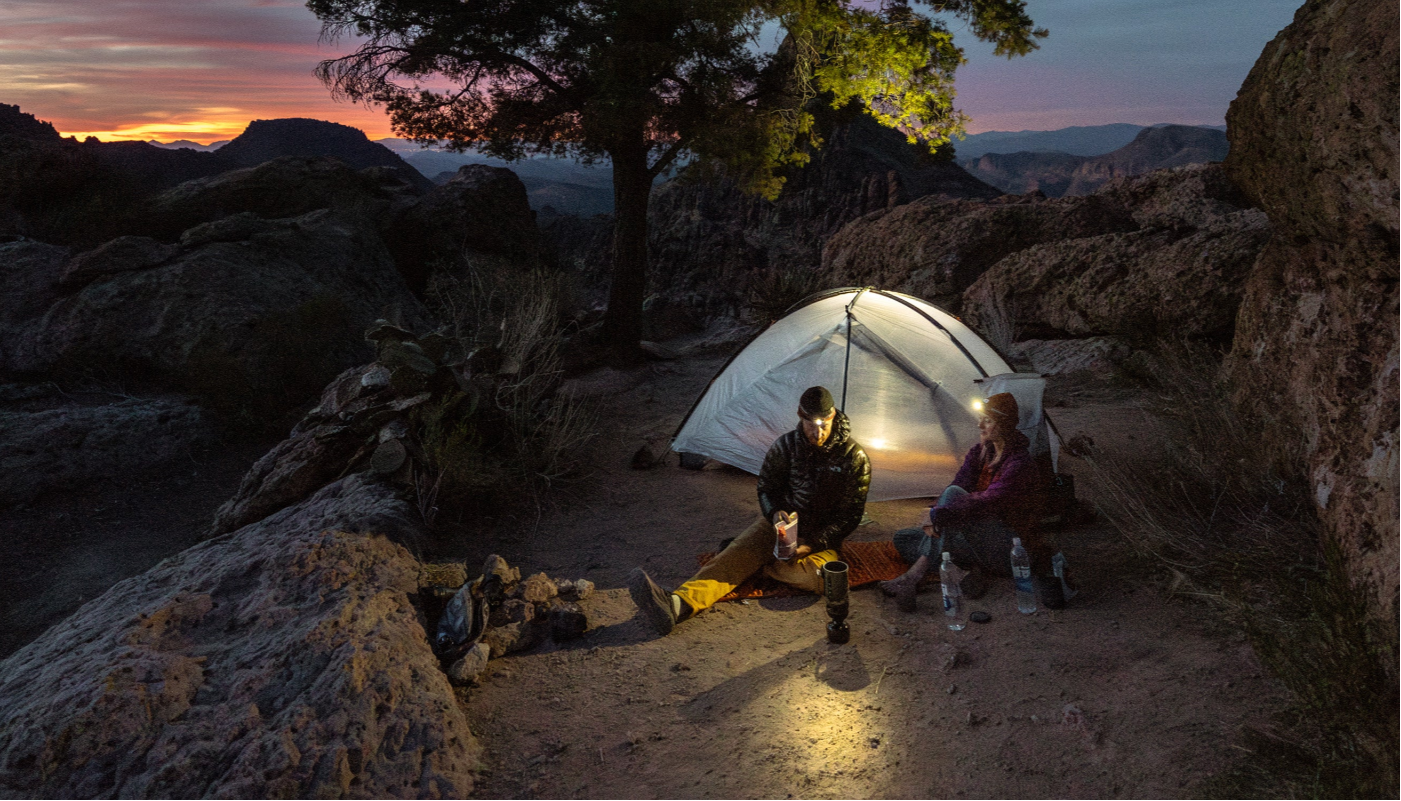
With planning you can do it without a tent or cooking equipment, staying and eating at hospedajes along the way. The cities are all well provisioned with amenities sought by visitors. Altogether this route travels through a highly visited region while offering a way to do so without being barraged by people at every moment. It is easily accessible, well supported, can be traveled quickly, and affords the opportunity to know wonders of this region which most people miss.
Beginning at the town of Pisac, a (paid) visit to the ruins on the hill above is a wonderful inauguration to the spirit of this walk. The first 50 miles generally follow the Sacred Valley bike path, wandering between farm field paths and a quiet dirt road alternative to the busy highway which follows up the valley. Walking or pedaling this allows a deeper understanding of the daily life of the people who farm in the valley and frees you up to visit incredible sites such as the Salinas de Mara, or the ruins of Ollantaytambo and Urubamba during times when the tour buses are not packing the places.
If you are crunched for time, you can take a vehicle (leaving Cusco many times a day) to KM 82, the known launching point of the “Sacred Inca Trail” and tourist outpost village of Piskacucho. What is known around the world as the Inca Trail is actually the Sacred Inca Trail, one fraction of the 24,000+ miles of roads the Incas built. That trail crosses the river, requires a guide, permits, and sees a line of people snaking along every morning.
A free option is to follow the “Social Inca Trail” by which goods were brought into the city. It now sees a rail line used about five to six times per day to bring up tourists. This route climbs gradually and arrives into the heart of Agua Caliente which sits below the Machu Picchu Ruins. If the train guard is feeling ambitious at Km 82, you may be forbidden from passing the station. This is easily circumvented by following the only other road through the town which circles above the train station and follows a first set of original Inca Stairs down the other side of town. This route sometimes joins with the railroad, making for close clearance, but there are also lovely stretches of trail and rarely visited sites.
Once past Aguas Calientes (where yes there are hot springs), you again follow the rail line to where it ends. The route then primarily follows a dirt road until connecting to the Salkantay Trail, also quite famous and well-traveled though not yet nearly as restricted as the Sacred Inca Trail. Or, if you prefer to skip the climb and stick to the road, you can drop into high jungle and visit the town of Santa Teresa with much more pristine developed hot springs.
Continue to follow roads via trail shortcuts (or skip forward in one of the many daily public transports) to Yanama where an astounding trail, still well cobbled and climbing over severe rises leads to the Choquequirao Ruins. These ruins are, in my opinion, just as impressive, significantly cheaper, and far less restricted or over visited as Machu Picchu. In fact, if you are a healthy walker and even only have two days to visit the area, I would recommend an out and back from Cachora to these ruins over the crowds and vehicle exhaust of Machu Picchu.
There are several steep climbs on this route that rise several thousand feet each. Rinsing off in the rivers and enjoying the ruins and vistas of the ridges make the experience unique. The trail is very clear and easy to follow. After Choquequirao it becomes a veritable hiking highway, wide and well-trod (though we only saw about three groups out in the two days along this section).
The trail ends a few miles up the road from the village of Cachora where there are several lodging and transportation options. One can either continue to follow old trails over the next rise into the city of Abancay or take a transport. From Abancay there is ground transport to Cusco or Lima and air transport to Lima.
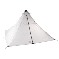
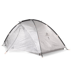
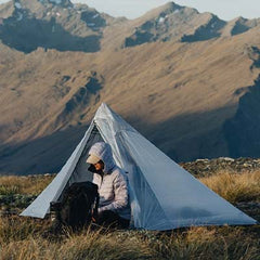
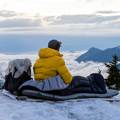
Bethany “Fidgit” Hughes has been using and (rigorously) testing our 3400 Southwest Pack, Echo II Shelter System and a variety of Stuff Sacks + Pods since the beginning of the Her Odyssey journey from South America to Alaska in 2015. She is constantly posting insights, photos and videos from the trail – so make sure you give Her Odyssey a follow on Facebook and Instagram.