Shaun Mittwollen

In Search of a Patch of Powder: A Ski Mission to Tasmania's Frenchmans Cap

Photos and Words by Shaun Mittwollen


Frenchmans Cap, the Half Dome of Tasmania. High on Tasmania's list of jaw-dropping multi-day hikes. The mountain rises gradually before ending abruptly in a huge cliff on the southern side, one of Australia's largest cliffs. When viewed from below, this huge face towers like a skyscraper, with quartzite columns craning ever upwards. A vertical world home to adventure climbers who tackle the 400m face above huge exposure is beautifully illustrated in the short film 'The Lorax Project.' However, skiing on the mountain doesn't attract much fanfare despite the mountain's relatively high elevation and frequent winter snows. It's long been rumored there's a permanent snowfield lasting through the summer just adjacent to the summit. Or at least in recent history, the closest we have had to a glacier.

Frenchmans Cap is accessed via a 20km approach usually undertaken in a day or two of generally easy walking across buttongrass plains, though Gondwanan rainforest and teetering along exposed ridgetops finishing at Lake Tahune hut. Unlike many other Tassie ski lines, the mountain isn't descended in one huge couloir. Instead, the ski line follows stepped terrain along the east face that varies from gradual to very steep. The playful, varied descent really amps up the fun factor and decreases the chance of claiming early retirement from skiing out of fear. Has the mountain been skied before? We aren't quite sure. Perhaps it has in the past, although the access these days is greatly improved with Dick Smith's track work initiatives. Indeed, the approach of yesteryear would have been almost as heinous as the Federation Peak approach, with much of the track crossing the infamous 'Sodden Loddons.' 

Frenchman's Cap

Ben had skied the lower part of the mountain as one of his first backcountry trips way back in 2015, burdened by an absurdly heavy setup and steep ice. I'd hiked to Frenchmans three times before but only once in 2017 during deep snow and never with skis. And so, we plotted a ski attempt for the winter of 2021, carrying a minimalist setup for a fast and light approach. 

Unfortunately, in 2021 Tasmanian snowfalls have been following the alarming trend of climate change, and even on the highest peaks, there's hardly a base. It's so far been the worst season I've seen in Tasmania, far too warm for any legitimate snowfalls to accumulate. In mid-August, a brief but cold frontal system impacted the island, and we decided it was now or never. Mt. Field showed 20-30cm of fresh snow, and the cams at Cradle Mountain looked optimistic. Perhaps we might be surprised?

Frenchman's Cap

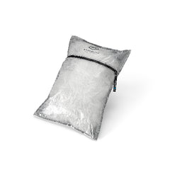
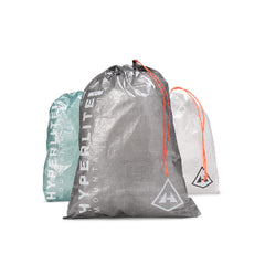
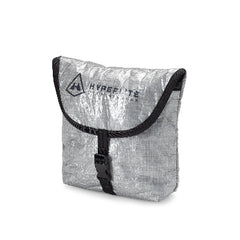
We left from Hobart at 6 a.m., making the three-hour drive to the trailhead. A wind-loaded Mt. Rufus and piles of cleared snow along the Lyell Highway showed promise. We did some quick last-minute packing at the trailhead, and we were underway at 930 a.m. Along the approach, low overhead branches are a constant feature, and the typical vertical carry of skis strapped to the sides of packs would be a huge nuisance. So last year, we'd adapted a horizontal carry that a cross country skier had told me about using in the dense Tassie scrub. A short length of paracord combined with loops and carabiners held our skis at waist level and strapped to the shoulders of our packs. The system was highly adjustable, easy to remove, and cut through 'botanically intensive' approaches with startling efficiency. To protect our ski boots from rain, we stashed them inside our Hyperlite packs and stuffed them with food and cooking supplies, ironic since my boots are old and have never been washed. Going experimental, my stove consisted of a tuna can punched with two rings of holes and 100ml of metho, saving a good deal of carried weight.  

Rocky Trail

The track initially passed through moist rainforest before climbing steeply over a hillside. After a big two days of quality surf and an impending cold, I was feeling the effects of what's normally an easy climb. We topped out and descended into the no longer Sodden Loddons. These buttongrass plains were notorious for vast swathes of deep mud that had been known to swallow legs, boots, and sanity. Fortunately, significant track work in the mid-2010s has made the crossing feel like a highway, and we quickly sped across the plains towards the most significant climbs. Up and over the Baron Pass, where typical speeds are measured around 1-2km/h, the track climbed steeply through the open rainforest before contouring ridges to our base camp at Lake Tahune Hut. In total, the approach was eight hours. Slightly slower than a typical trip in. 

Frenchman's Cap

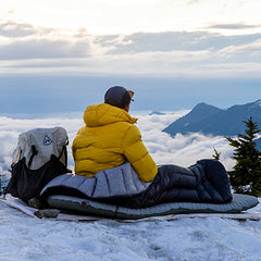
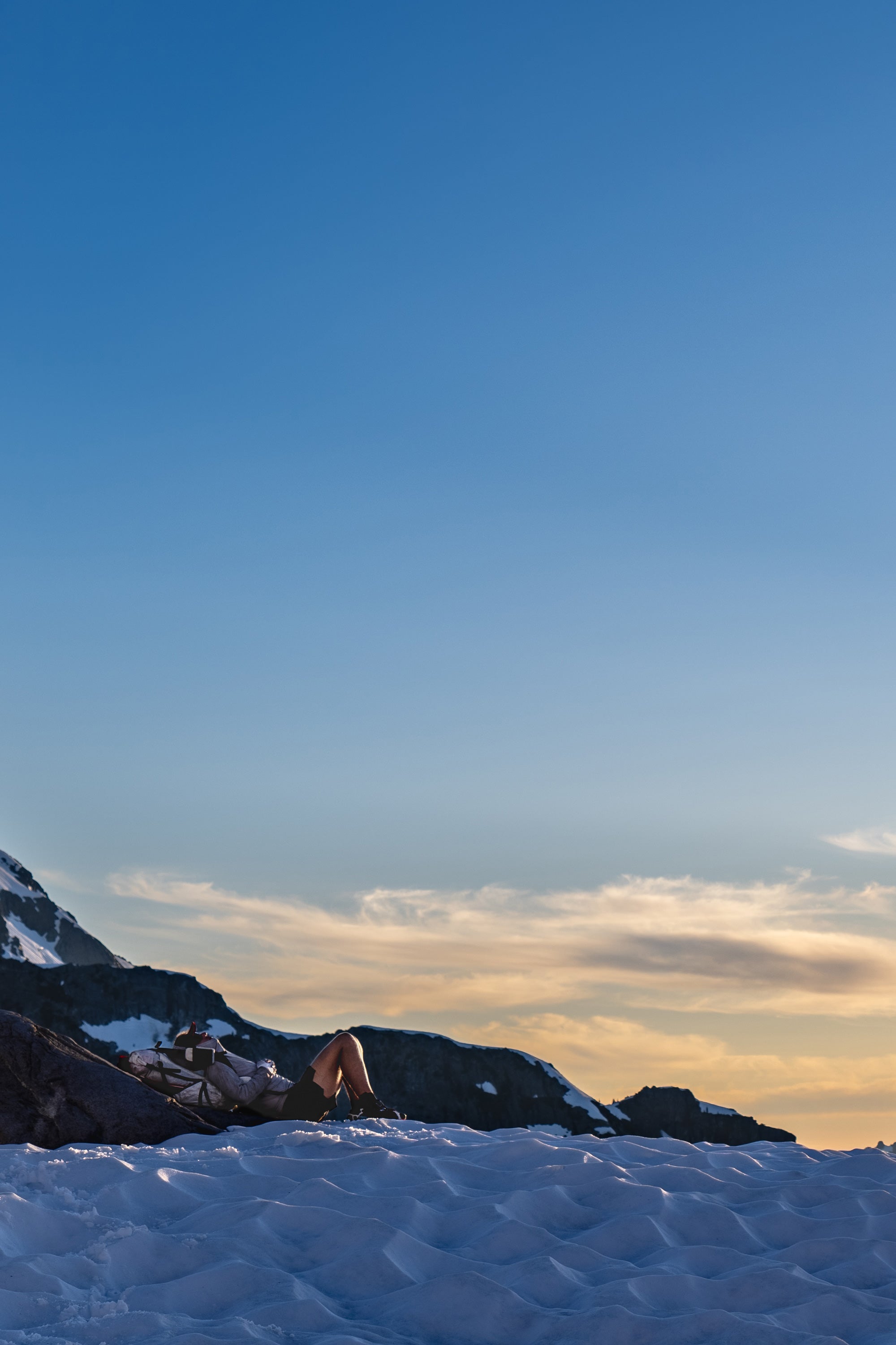
Summit day, and the conditions were looking to be excellent. Light cloud wafted below the peak, but unfortunately, the snow seemed to be starkly absent. Nevertheless, we would climb to the summit to make sure. Heading up towards the col between the Lion's Head and the summit, we encountered patchy remnants of rain-affected snow but no base. We headed zig-zagging along the ascent route, climbing the awkward scramble-with-overhang, which had become more of a waterfall with snowmelt after the light rain and warming temperatures. As we climbed higher, we rose above the low-lying mist, which remained at about the 12-1300m level, but we found little in the way of skiable snow even here. It wasn't till we neared the summit at 1400m that we found a few skiable drifts which had accumulated deeply through the winter on the eastern aspects. Although the mid-winter lack of snow was a strong indicator of just how poor the snow season was down here this year, we would get to ski. We ended up lapping a small chute, even finding a few small drops to hit. It was probably some of the funnest skiing of the season with good snow, fast laps, and low consequence terrain. 

After a few hours near the summit, we attempted descent of sorts finding every last vestige of snow and linking them as low as possible, encountering the obligatory rocks and bushes along the way. I'd estimate we had around 100m of vertical if that. Not ideal, but the best of what was available. During a good year, Frenchmans would offer sensational adventure skiing across a variety of terrain that doesn't have the high exposure of the steeper dolerite couloirs. Probably about 400m vertical in total for one of the longest descents in the state. But unfortunately, with climate change, the big snowfalls down here that are necessary to fill in the lines are simply getting rarer and rarer. Even so, if we do eventually get a good outlying winter, I vow my return to Frenchmans Cap!


Make sure to check out Shaun's "DETAILS FROM THE WITNESS" post for more of his stunning photography.

*This trip report documents a personal adventure without monetary gain or other consideration. Always remember to carefully plan and work within your skill set to stay safe in the mountains.