Words by Max Kiel, Photos by Dan Oliver
I anxiously stared at my watch, waiting for the clock to strike 2:00 pm. The date is Saturday, September 25, 2021, and I was at work at Confluence Running, a running specialty store in my hometown of Goshen, NY, counting down the minutes until my shift was over.
It's not that I didn't like my job at Confluence–in fact, I love my job. However, I was counting down the minutes because I was eager to head upstate to the Adirondack Mountains, the destination for my upcoming peak bagging expedition. It would be my first multi-day backpacking trip since my thru hike of the Appalachian Trail.

It had been just about two months since I summited Mount Katahdin, and after several weeks of civilian life, I soon began yearning for another adventure. So, when my good friend Dan "Trail Candy" Oliver invited me to join him on a three-night trip in the High Peaks Wilderness, I didn't hesitate to accept his invitation. I was ready to yet again put my body and my mind to the test.
2:00 finally came, and I hurriedly left the shop to drive across the Hudson River to the nearby town of Peekskill to pick up my trip companion. From there, we would be headed to the town of North Creek to spend the night at his family's ski condo.
For those that don't know, there are 46 4,000' mountains located in the Adirondack Park, known as the High Peaks. These mountains are rugged, to say the least, featuring steep, technical trails that relentlessly go straight up (and straight down) with no switchbacks. Hardcore hikers attempt to bag all 46 of these peaks to become members of the exclusive "Adirondack 46er" club.
Arriving at the condo at around 6:00 pm, we ate a hearty meal while reviewing our game plan one last time. The plan was to summit at least 11 High Peaks within three days. Ambitious, yes, but certainly doable. We called it an early night at around 9:00 pm to get one last good night's sleep. We surely would be needing it.

Day One - 15.55 Miles Hiked - Three High Peaks Summited - 4,700' of Elevation Gain
We were up early at 4:45 am since we had a two-hour drive to the Seward Range Trailhead, located in the remote Northwest corner of the High Peaks Wilderness.
The plan was to hike into the Ward Brook lean-to, situated at the base of the Seward Range and set up a basecamp. After setting up, we'll traverse the range in an out-and-back style before returning to basecamp to spend the night.
The following morning, we will hike to the summit of a fourth High Peak, Seymour Mountain, also easily accessible from the Ward Brook lean-to. After descending off Seymour, we will pack up our gear and make the trek back to the car to head out to the next trailhead.
After days of planning and hours of driving, it was finally time to get hiking. The five-mile hike to the Ward Brook lean-to acted as a nice warm-up for the upcoming traverse. The trail remained mostly flat, making its way through several pine and spruce forests, crossing a couple of streams along the way.
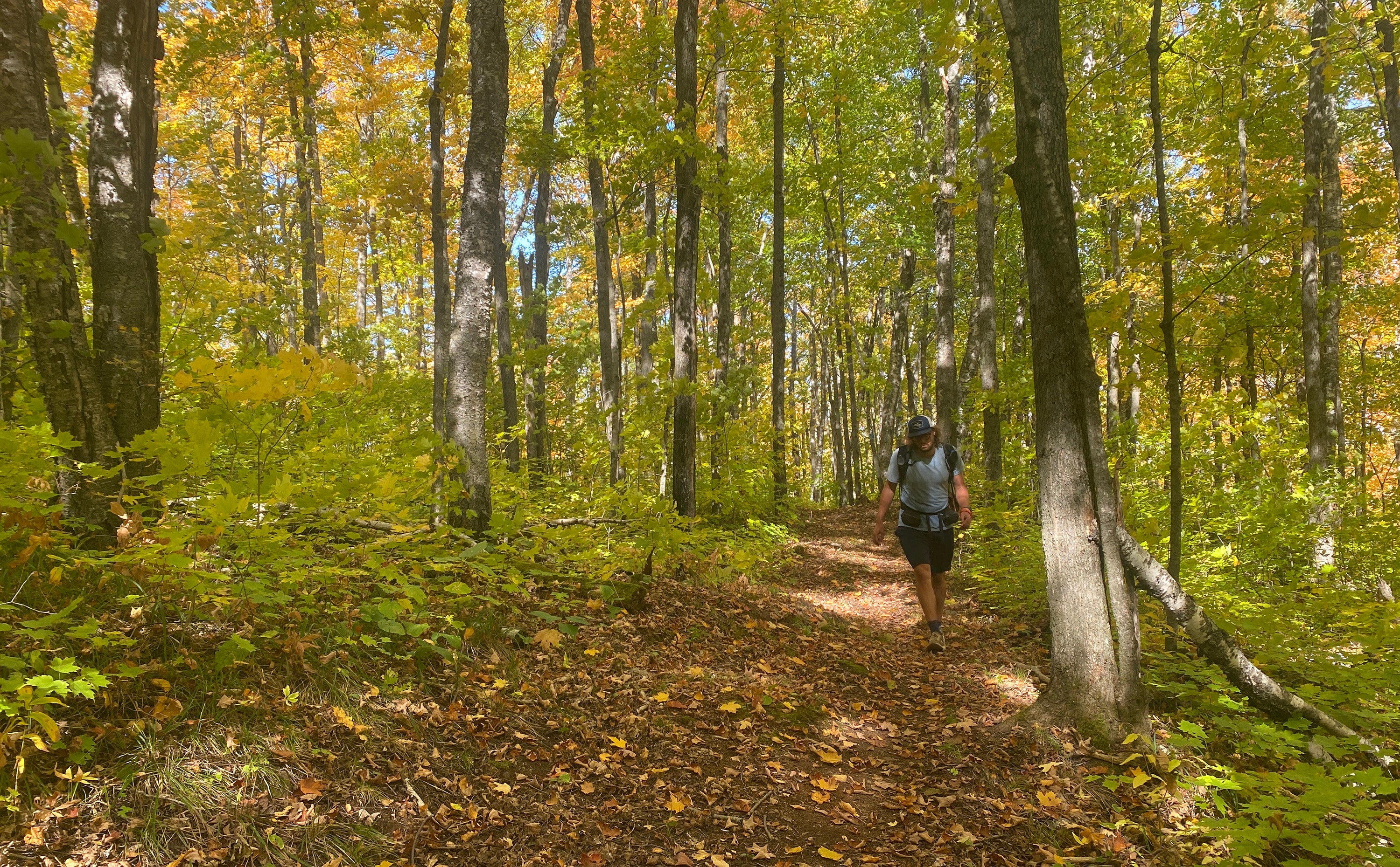
Autumn hits the High Peaks much quicker than other parts of the state, and the fall foliage was a spectacle to be seen. I was captivated by the vibrant colors of the yellow, orange, and red foliage surrounding me, making these first five miles fly by.
Arriving at the shelter, we were greeted by two fellow hikers packing up their gear and getting ready to head back to their cars. They warned us of the excessive mud on the trail between Donaldson Mountain and Mount Emmons.
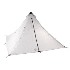
After the brief conversation, I pitched my tent in a flat, open area close to the shelter, ate a snack, and followed Trail Candy's lead up to Seward Mountain. He is quicker than I am, so I did my best to keep up.
The first mile was relatively flat before we gradually began to gain elevation. We started off at around 1,600' of elevation, and we were looking at a 2,500' ascent over the distance of three miles.
Sounds steep, right? In true Adirondack fashion, we quickly found ourselves climbing virtually straight up the rocky slope of this rugged mountain. Boulders, roots, and downed trees covered the "trail," requiring a lot of class three scrambling and hand-over-fist climbing.
Closer to the top, we started to get our first glimpses of the mountains surrounding us in all directions. After maneuvering up a few slick rock slabs, we found ourselves on the summit of Seward. High Peak number one of the trip did not come easily.
Descending off the summit, we clearly viewed our next two destinations, Donaldson and Emmons. The traverse between Seward and Donaldson was rugged and slow going but still beautiful, nonetheless. Spruce trees dominated the landscape here at 4,000'.
Two miles and about 500' of gain later, we arrived at the summit of Donaldson, High Peak number two. Fantastic views of the surrounding mountainous landscape greeted us at the top, and we were in awe of the orange hue that covered the peaks and valleys.
The two hikers from the lean-to were correct–there was a ton of mud on the trail between Donaldson and Emmons. It was impossible to avoid at times, and I accepted the reality that my feet would be soaked the remainder of the day.
Other than the excessive mud, it was a shorter and easier climb to the summit of Emmons, the final peak of this range. Legs tired from our effort thus far, we broke for lunch before backtracking all the way back to Seward Mountain, then back down to basecamp.
I felt pretty strong for the remainder of the day, but the descent off Seward back to camp took its toll on me. Going up steep rock slabs is rough but going down them is another thing. I slowly but surely inched my way off the mountain, arriving back to basecamp just after 4:30.
No one else would arrive at camp for the night, and Trail Candy and I reminisced on an excellent day one before calling it an early night.
"This is going to be a tough next couple of days," I thought to myself as I quickly began to drift into sleep, cuddled up inside my sleeping bag. It felt great to be back sleeping inside my tent.

Day Two - 12.5 Miles Hiked - One High Peak Summited - 3,000' of Elevation Gain
To my surprise, my legs weren't feeling too sore when I first woke up to use the privy. I got Trail Candy up, who slept inside the lean-to. We ate breakfast in a hurry and began our ascent up Seymour Mountain. It was a very gloomy and cloudy morning, and we knew rain was imminent.
The climb up Seymour was very similar to Seward in terms of terrain but was shorter and steeper; 2,000' of gain over 1.5 miles, to be exact. Slick rock slabs took over the trail for the last 400' to the summit, and I was already dreading coming back down these steep, sketchy slabs.
No views greeted us at the summit of Seymour, High Peak number four of the trip. The rain began to fall during the descent, making things that much more sketchy. By the time we arrived back to camp, the drizzle had turned into steady rainfall.
I cursed myself for not packing up my tent before the rain. I stuffed it wet inside its sack and packed up the rest of my gear. Who doesn't love carrying wet gear?
We got poured on during the five-mile hike back to my car, making these miles seem to drag on forever. We regrouped at the car and reviewed our plan one more time.
We had about an hour's drive to the Garden Trailhead located in the town of Keene Valley. On the way, we stopped for lunch in the quaint town of Saranac Lake, getting some interesting looks from locals as we walked into the cafe covered in mud and grime.
By the time we arrived at our next trailhead, the rain had stopped and the sun started to make an appearance. It was about 3:00 at this point, and we had an easy three-mile hike into the Howard lean-to, our basecamp, for the next two nights.
It was an easy, rolling 800' climb to the lean-to, situated at the base of several High Peaks, including those of the notorious Great Range. Along the way, small breaks in the canopy provided glimpses of the surrounding High Peaks we now found ourselves fully immersed in.
Our plan was to summit seven High Peaks the next day, and my legs were already hurting thinking about a full day of climbing and descending through these rugged mountains. I began mentally preparing for a tough but rewarding day. Isn't that how hiking should be?
Yet again, we had the camp entirely to ourselves. There was no tenting allowed at the lean-to site, so I situated my gear inside the eight-person wooden structure. I typically sleep much better inside my tent than in a shelter, but I had no other choice.
Darkness soon fell, and I was sound asleep by 8:00 pm, with my alarm set for 5:30 am.

Day Three - 16.1 Miles Hiked - Seven High Peaks Summited - 7,200' of Elevation Gain
We awoke to a dense layer of fog hanging low over the trees, but I was just happy there was no rain predicted for today. We ate breakfast and began making our way towards the Great Range. The big day was now underway.
The first two miles were mostly flat as we approached the Great Range. The thick layer of fog hung around for a while, giving the forest an eerie feel. We soon began the 1,500' ascent up to the notch between Lower and Upper Wolfjaw Mountains.
I felt particularly strong on this first climb to the ridge, and we took a left at the junction to summit Lower Wolfjaw first. We scrambled up and over large boulders and technical terrain to reach summit number one for the day. We were completely socked in by the clouds at the top, having no views to reward us for our effort.
Another technical ascent up Upper Wolfjaw followed Lower Wolfjaw, with every peak remaining in the thick cloud cover. Armstrong and Gothics followed, featuring steep rock scrambles and ladders to assist hikers on some gnarly features.
Despite the lack of views thus far, my spirits were through the roof. I had a large smile across my face as I made my way through beautiful, moss-covered spruce forests at 4,000', reminding me of the forests in the White Mountains and Southern Maine on the AT. The endorphins were pumping, and my legs were ready to continue to crush the remaining miles.
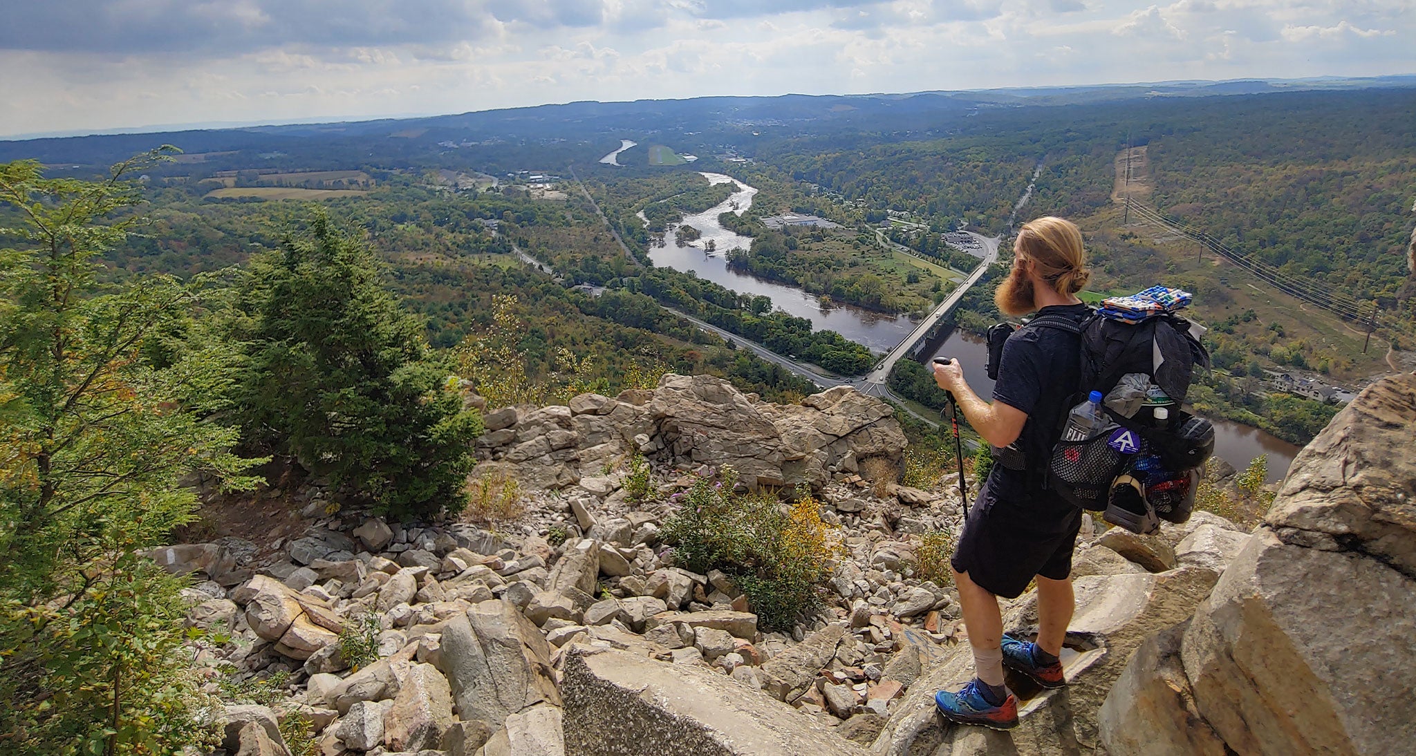
We arrived at the summit of Gothics just before 11 am, our fourth High Peak for the day and the eighth High Peak of the trip. At this point, the clouds were finally beginning to disperse, giving us quick glimpses of stunning vista views of surrounding High Peaks.
Following Gothics, it was time for a long side trip off the Great Range trail to bag Sawteeth Mountain in an out-and-back effort. Before Sawteeth, we needed to go up and over Pyramid Peak first to access the summit of Sawteeth. Although not an officially labeled High Peak, Pyramid Peak provided excellent views from its rocky summit.
A long, rocky 1,200' descent off Pyramid was followed by an equally rocky but brief climb up Sawteeth. Knowing we had to reclimb the 1,200' up and over Pyramid to get back to the Great Range was a mentally daunting task but a necessary one to meet our goal of bagging 11 peaks.
Once back to Pyramid Peak, we enjoyed an extended lunch break, with the clouds now fully dispersed and the sun shining. My energy levels were still good, but my legs were beginning to feel the elevation gain.
Finally arriving back at the summit of Gothics at 1:00, we pushed on to the final two peaks of the day, Saddleback and Basin. The descent off Gothics was one of the sketchiest descents I've ever done. The entire descent was on steep rock slabs, featuring cables that were mostly broken.
"Yeah, maybe we should've climbed up this way instead of descending off these rock slabs," muttered Trail Candy. It was too late now, and we slowly inched our way down to the notch between Gothics and Saddleback.
The ascent up Saddleback went by in a flash, but the descent was yet another treacherous one. I got on my butt and scooted down the large boulders, doing my best to follow the painted trail markers scattered throughout the boulder scree. These slow-going, technical descents were really beginning to take their toll on me mentally.
The summit of Basin Mountain, the eleventh and final peak of the trip, provided some of the best views I may have ever seen. Mt. Marcy, New York's highest peak, was staring us directly in the face, daring us to climb up to its exposed summit. We toyed around with the idea of summiting, but knew we didn't have the daylight, or the energy, for this side expedition.
More tough scrambling off Basin really messed with my psyche, and in frustration, I yelled out to Trail Candy, "I'm done with these descents, dude. I think I'm just gonna sleep up here".
Reaching low mental points is all a part of the experience, in my opinion; it teaches us to grit through the tough times, which ultimately makes us not only better hikers but better people.
The last four miles after descending off the Great Range were flat but still very rocky. My legs were shot at this point, but I blocked out the pain and powered through until arriving back at camp just as the sun began to set. I don't think I've ever felt more relieved to arrive back at my campsite before.
"What a day," we kept repeating to each other. Needless to say, sleep came very easily that night. I was looking for a challenge, and I sure got what I was looking for-and then some. I felt so rewarded, a feeling that can only be felt after completing a long, challenging day in the mountains.

Day Four - Three Miles Hiked - Zero High Peaks Summited -38' of Elevation Gain
We were in no immediate rush to leave camp the next morning. We took our time packing up our gear and began the hike back to the car at around 8:30 am. Trail Candy flew ahead on the trail, but I went a little slower to soak in my surroundings one last time.
I tried to block out all thoughts on this final stretch back to the car to be as present as possible, but the entire way, I couldn't help but reflect on the past few days. It seemed like so much more time traversing the Seward Range. It's funny how skewered time can feel when in the wilderness.
We stopped for a refueling breakfast in the town of Keene Valley before beginning the drive back downstate. It was one hell of a trip, full of the highest highs and some pretty low lows. I felt a variety of emotions throughout it, some I haven't felt since my AT thru hike.
Mountains are interesting in that they can build you up and have you feeling on top of the world, then break you down and have you feeling defeated within moments. I hike to challenge myself and to test my abilities in beautiful landscapes, and the Adirondack Mountains provide just that. I was already looking forward to continuing my journey to become an Adirondack 46er as I cruised down Interstate 87.
Max Kiel is a New York-based freelance outdoor writer and digital content creator, and a Trail Specialist at Confluence Running. Upon graduating college in the Winter of 2021, he completed a long-time dream of his and thru-hiked the Appalachian Trail. In addition to hiking, Max is also an avid trail-runner, aspiring Ultramarathoner, and Winter mountain explorer who is constantly looking for his next challenge. In his free time, Max can typically be found running around in the local New York hills with his black lab Maverick, training for an upcoming race or expedition. You can follow more of his adventures on his Instagram.

